Near Purlear in Wilkes County, North Carolina — The American South (South Atlantic)
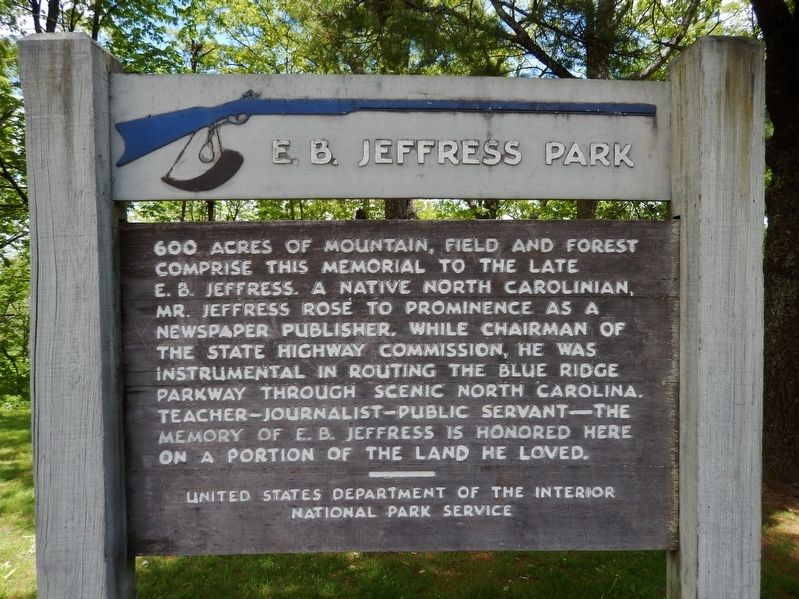
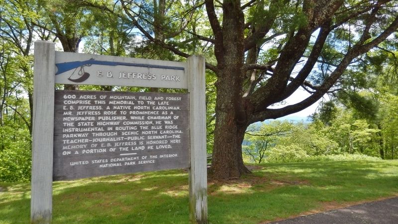
E. B. Jeffress Park
Erected by National Park Service, U.S. Department of the Interior.
Topics. This historical marker is listed in these topic lists: Communications • Education • Parks & Recreational Areas.
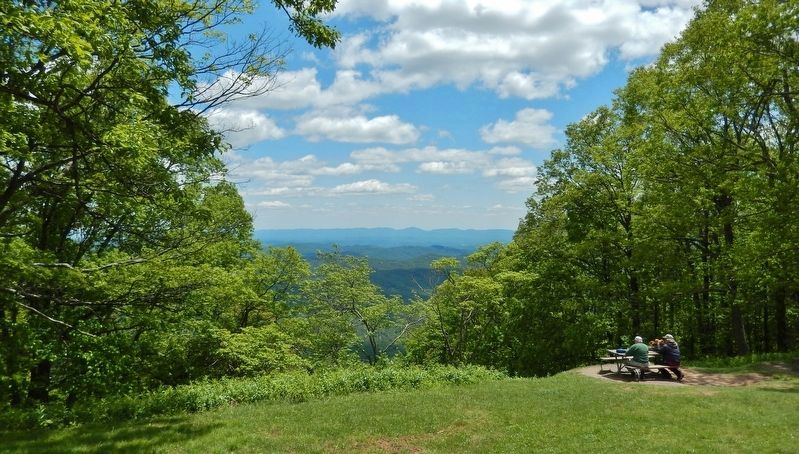
Location. 36° 14.72′ N, 81° 27.468′ W. Marker is near Purlear, North Carolina, in Wilkes County. Marker is on Blue Ridge Parkway (at milepost 271.9), 4˝ miles north of U.S. 421, on the right when traveling north. Marker is located within the Cascades Overlook Parking area on the east side of the parkway. Touch for map. Marker is in this post office area: Purlear NC 28665, United States of America. Touch for directions.
Other nearby markers. At least 8 other markers are within 9 miles of this marker, measured as the crow flies. Stoneman's Raid (approx. 2.6 miles away); Mt. Jefferson (approx. 4.2 miles away); Tom Dula (approx. 4.9 miles away); R. T. Greer & Company Root and Herb Warehouse (approx. 5.8 miles away); Glendale Springs Inn (approx. 8.1 miles away); Todd Historic District (approx. 8.8 miles away); Todd Mercantile Building (approx. 8.8 miles away); Bank of Todd (approx. 8.9 miles away).

Photographed By Cosmos Mariner, May 14, 2019
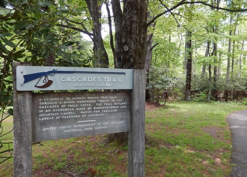
4. Cascades Trail Sign
(the trail begins near marker)
(the trail begins near marker)
A leisurely 30 minute round trip walk through a mixed hardwood forest to the cascades of Falls Creek. The trail returns in an evergreen maze of rhododendron and Mountain Laurel. Watch for trailside labels at features of interest.
Credits. This page was last revised on November 30, 2020. It was originally submitted on May 23, 2019, by Cosmos Mariner of Cape Canaveral, Florida. This page has been viewed 248 times since then and 21 times this year. Photos: 1, 2, 3, 4. submitted on May 23, 2019, by Cosmos Mariner of Cape Canaveral, Florida.


