Marker Logo HMdb.org THE HISTORICAL
MARKER DATABASE
“Bite-Size Bits of Local, National, and Global History”
Dawson Creek in Peace River, British Columbia — Canada’s West Coast (North America)
 

Alaska Highway / La Route De L’Alaska

Completed in 1942 / Terminé en 1942

— International Historic Civil Engineering Landmark / Monument Historique International du Génie Civil —


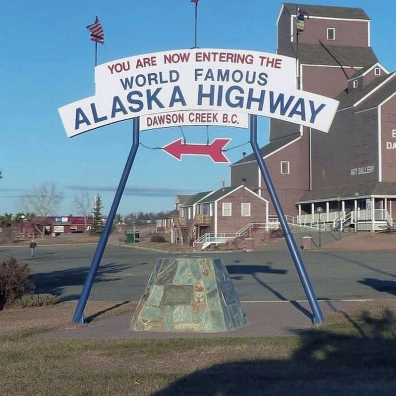
Alaska Highway Marker image. Click for full size.
Photographed By Gerald Lapp, June 11, 2019
1. Alaska Highway Marker
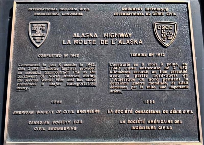
Inscription.   Constructed in just 8 months in 1942, this 2,450 kilometre highway provided an essential transportation link to the northwest of North America during the Second World War, and has since remained a major transportation artery.

Construite en 8 mois à peine en 1942, cette autoroute de 2450 kilomètres assurait un lien essentiel avec la partie nord-ouest de l'Amérique du nord pendant la deuxième guerre mondiale, et allait demeurer, par la suite, un importante artère.


Erected 1996 by American Society of Civil Engineers, Canadian Society for Civil Engineering.
 
Topics and series. This historical marker is listed in this topic list: Roads & Vehicles. In addition, it is included in the ASCE Civil Engineering Landmarks series list.
 
Location. 55° 45.533′ N, 120° 13.505′ W. Marker is in Dawson Creek, British Columbia, in Peace River. Marker is on Alaska Ave (National Highway 2) near 8th Street, in the median. Marker is in Mile 0 Alaska Highway Park. Touch for map.

Paid Advertisement
Click on the ad for more information.
Please report objectionable advertising to the Editor.
Click or scan to see
this page online
Marker is at or near this postal address: 800 Highway 2, Dawson Creek BC V1G 3V8, Canada. Touch for directions.
 
Other nearby markers. At least 1 other marker is within 6 kilometers of this marker, measured as the crow flies. Dawson Creek (approx. 5.1 kilometers away).
 
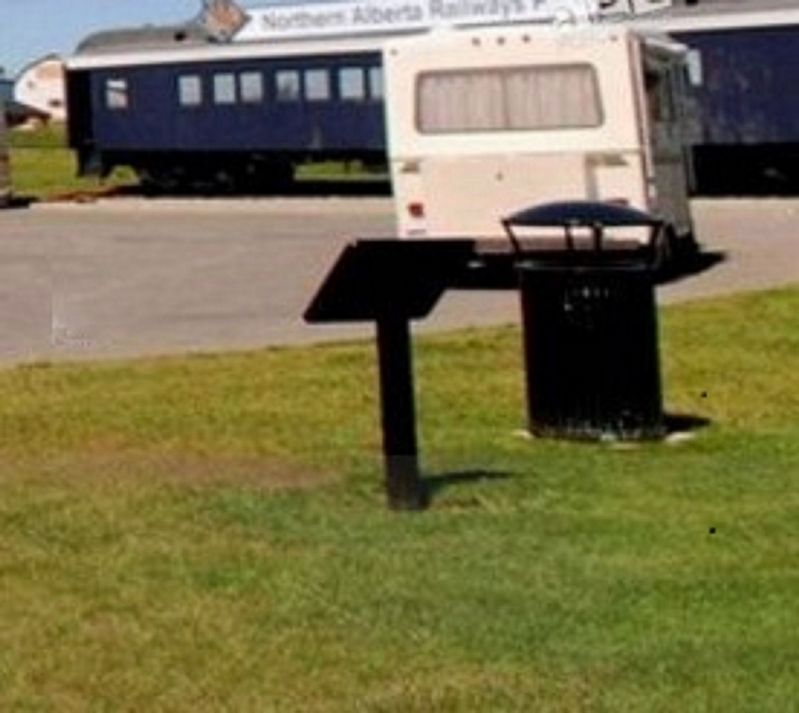
Alaska Highway - additional marker image. Click for full size.
Photographed By Gerald Lapp, June 11, 2019
2. Alaska Highway - additional marker
Alaska Highway Marker image. Click for full size.
Photographed By Gerald Lapp, June 11, 2019
3. Alaska Highway Marker
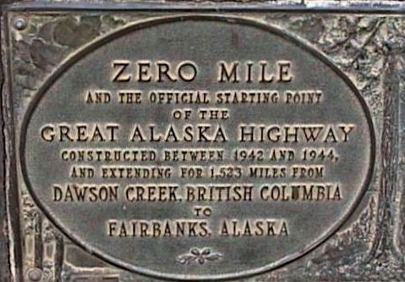
Alaska Highway - additional marker - full view image. Click for full size.
Photographed By Gerald Lapp, June 11, 2019
4. Alaska Highway - additional marker - full view
 
 
Credits. This page was last revised on February 10, 2022. It was originally submitted on June 13, 2019, by Rev. Ronald Irick of West Liberty, Ohio. This page has been viewed 174 times since then and 14 times this year. Photos:   1, 2, 3, 4. submitted on June 13, 2019, by Rev. Ronald Irick of West Liberty, Ohio. • Andrew Ruppenstein was the editor who published this page.
Share this page.  
Share on Tumblr
m=135256

CeraNet Cloud Computing sponsors the Historical Marker Database.
This website earns income from purchases you make after using our links to Amazon.com. We appreciate your support.
Paid Advertisement
Apr. 26, 2024