New Castle in Rockingham County, New Hampshire — The American Northeast (New England)
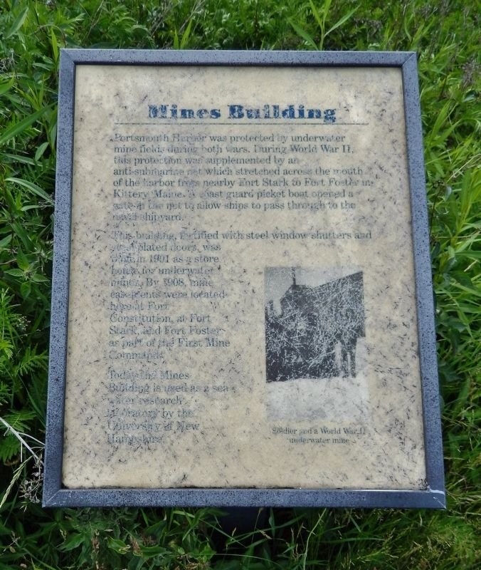
Mines Building
This building, fortified with steel window shutters and steel-plated doors, was built in 1901 as a store house for underwater mines. By 1908, mine casements were located here at Fort Constitution, at Fort Stark, and Fort Foster as part of the First Mine Command.
Today the Mines Building is used as a sea water research laboratory by the University of New Hampshire.
Topics. This historical marker is listed in these topic lists: Forts and Castles • War, World II • Waterways & Vessels. A significant historical year for this entry is 1901.
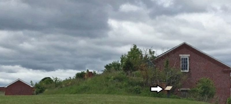
Location. 43° 4.313′ N, 70° 42.559′ W. Marker is in New Castle, New Hampshire, in Rockingham County. Marker can be reached from Sullivan Lane, ¼ mile east of Wentworth Road. Marker is located at Fort Constitution, near the northeast corner of the fort grounds, overlooking the subject building from the east. Touch for map. Marker is at or near this postal address: 25 Wentworth Road, New Castle NH 03854, United States of America. Touch for directions.
Other nearby markers. At least 8 other markers are within walking distance of this marker. Portcullis (about 300 feet away, measured in a direct line); Fort William and Mary Commemoration Marker (about 300 feet away); Walbach Tower (approx. 0.2 miles away); a different marker also named Walbach Tower (approx. 0.2 miles away); William and Mary Raids (approx. ¼ mile away); Frost Cemetery (approx. 0.3 miles away); New Castle Congregational Church (approx. 0.4 miles away); Resisting Naval Firepower (approx. 0.7 miles away in Maine). Touch for a list and map of all markers in New Castle.
Credits. This page was last revised on June 15, 2019. It was originally submitted on June 15, 2019, by Cosmos Mariner of Cape Canaveral, Florida. This page has been viewed 205 times since then and 12 times this year. Photos: 1, 2. submitted on June 15, 2019, by Cosmos Mariner of Cape Canaveral, Florida.

