Mechanicsville in St. Mary's County, Maryland — The American Northeast (Mid-Atlantic)
Tobacco Barns
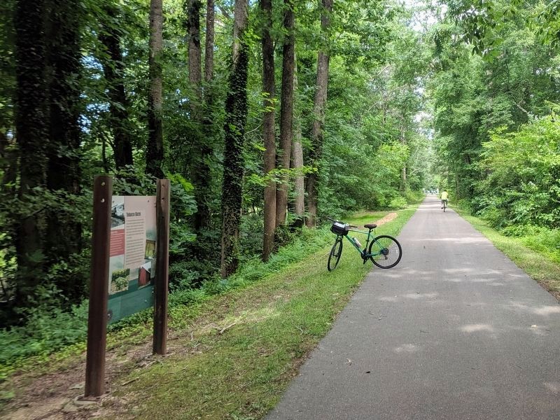
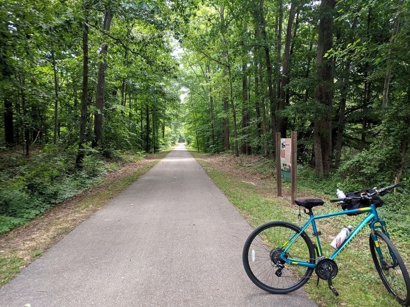
Three Notch Trail
The 2001 Maryland Tobacco Buyout effectively ended tobacco's reign as the main cash crop in Southern Maryland. This voluntary program provided funds to support growers who chose to give up growing tobacco while remaining in agriculture. Disuse and urban sprawl have put the barns at risk. Today they are quickly vanishing, yet they are receiving conservation attention as an essential part of Maryland's farming history.
(caption)
Detail of the interior of a tobacco barn with tobacco curing inside.
Rail History 1952
By 1952 the Navy operated three diesel locomotives on the 55 miles of track, with an average of 110 cars running weekly between Brandywine and Patuxent River. However, the busy times were short lived and by 1953 the Navy decided to discontinue rail service in favor of roadway, air and water transportation.
Erected by Three Notch Trail.
Topics. This historical marker is listed in these topic lists: Agriculture • Railroads & Streetcars.
Location. 38° 25.009′ N, 76° 42.449′ W. Marker is in Mechanicsville, Maryland, in St. Mary's County. Marker can be reached from Point Lookout Road (Maryland Route 5) 0.8 miles south of Three Notch Road (Maryland Route 235), on the left when traveling south. Located on the Three Notch Trail. Touch for map. Marker is in this post office area: Mechanicsville MD 20659, United States of America. Touch for directions.
Other nearby markers. At least 8 other markers are within 3 miles of this marker, measured as the crow flies. Three Notch Road (approx. 0.7 miles away); Forest Hall (approx. 0.8 miles away); Extending the Rail (approx. 1.7 miles away); a different marker also named "Three Notch Road" (approx. 1.7 miles away); De La Brooke Manor (approx. 1.8 miles away); Three Notch Trail (approx. 2.1 miles away); Veterans of Helen Memorial (approx. 2.3 miles away); Village of Mechanicsville (approx. 2˝ miles away). Touch for a list and map of all markers in Mechanicsville.
Credits. This page was last revised on June 16, 2019. It was originally submitted on June 16, 2019, by Bernard Fisher of Richmond, Virginia. This page has been viewed 226 times since then and 29 times this year. Photos: 1, 2, 3. submitted on June 16, 2019, by Bernard Fisher of Richmond, Virginia.


