Lockport in Will County, Illinois — The American Midwest (Great Lakes)
The Hydraulic Basin
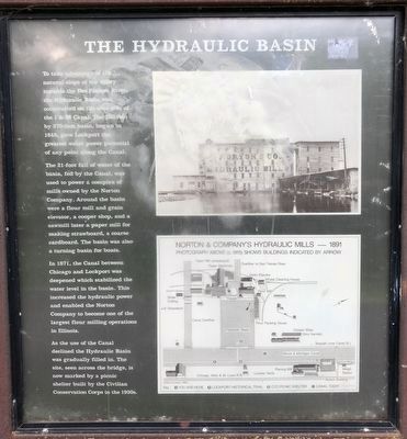
To take advantage of the natural slope of the valley towards the Des Plaines River, the Hydraulic Basin was constructed on the westside of the I & M Canal. The 260-foot by 370-foot basin, begun in 1848, gave Lockport the greatest water power potential of any point along the Canal.
The 21-foot fall of water of the basin, fed by Canal, was used to power a complex of mills owned by the Norton Company. Around the basin were a flour mill and grain elevator, a cooper shop, and a sawmill later a paper mill for making strawboard, a coarse cardboard. The basin was also a turning basin for boats.
In 1871, the Canal between Chicago and Lockport was deepened which stabilized the water level in the basin. This increased the hydraulic power and enabled the Norton Company to become one of the largest flour milling operations in Illinois.
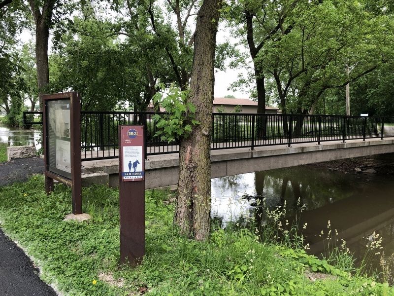
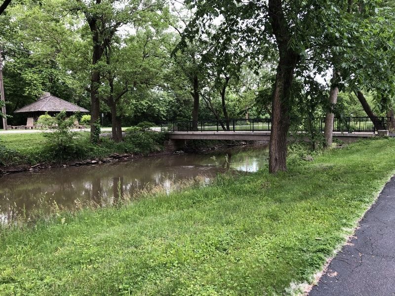
As the use of the Canal declined the Hydraulic Basin was gradually filled in. The site, seen across the bridge, is now marked by a picnic shelter built by the Civilian Conservation Corps in the 1930s.
Topics. This historical marker is listed in this topic list: Waterways & Vessels.
Location. 41° 35.195′ N, 88° 3.613′ W. Marker is in Lockport, Illinois, in Will County. Marker can be reached from Canal Street. Touch for map. Marker is at or near this postal address: 1201 Commerce Street, Lockport IL 60441, United States of America. Touch for directions.
Other nearby markers. At least 8 other markers are within walking distance of this marker. The Lockport Station (about 500 feet away, measured in a direct line); The Norton Building (about 700 feet away); Historic Lockport (about 700 feet away); Lock 1 (approx. ¼ mile away); Illinois & Michigan Canal Office (approx. 0.3 miles away); Abraham Lincoln (approx. 0.3 miles away); William Schuler (approx. 0.3 miles away); George Gaylord (approx. 0.3 miles away). Touch for a list and map of all markers in Lockport.
More about this marker. The marker is located on the Illinois & Michigan Canal Trail, aka Gaylord Donnely Trail. The street names are only a general reference.
Credits. This page was last revised on August 27, 2020. It was originally submitted on June 30, 2019, by Barry Swackhamer of Brentwood, California. This page has been viewed 199 times since then and 23 times this year. Photos: 1, 2, 3. submitted on June 30, 2019, by Barry Swackhamer of Brentwood, California.


