Washington Township near Waynesboro in Franklin County, Pennsylvania — The American Northeast (Mid-Atlantic)
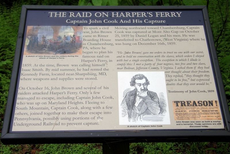
The Raid On Harpers Ferry
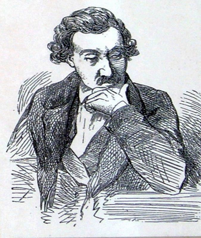
Captain John Cook And His Capture
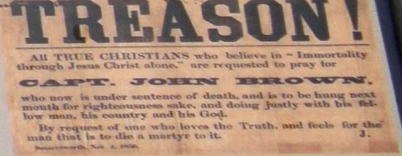
To spark a civil war, John Brown came to Ritner Boarding House in Chambersburg, PA, where he began to plan his famous raid on Harper’s Ferry, in 1859. At the time, Brown was calling himself Isaac Smith. By mid summer, he had rented the Kennedy farm, located near Sharpsburg, MD, where weapons and supplies were stored.
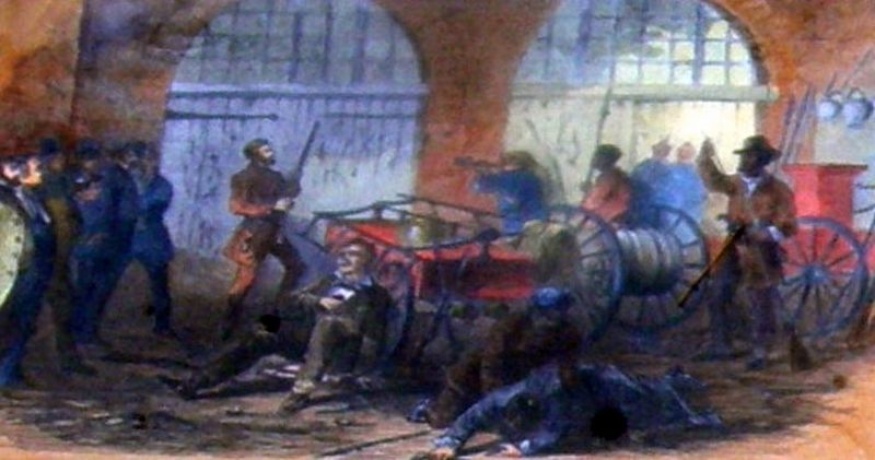
On October 16, John Brown and several of his raiders attacked Harper’s Ferry. Only a few managed to escape, including Captain John Cook, who was up on Maryland Heights. Fleeing to South Mountain, Captain Cook, along with a few others, joined together to make their escape into Pennsylvania, possibly using portions of the Underground Railroad to prevent capture.
Moving northward towards Chambersburg, Captain Cook was captured at Mont Alto Gap on October 25, 1859 by Daniel Logan and his men. He was transferred to Charlestown (West Virginia) where he was hung (sic) on December 16th, 1859.
He (John Brown) gave me orders to trust no one with our secret, and to hold no conversation with the slaves, which orders I obeyed with but a single exception. The exception I illude is simply this: I met a party of four negroes, two free and two slave, near Bolivar, Jefferson County, Virginia. I asked them if they had ever thought about their freedom. They replied “they though they ought to be free,” but expressed doubts that they ever would be.”
Testimony of John Cook, 1859
Topics. This historical marker is listed in this topic list: Abolition & Underground RR. A significant historical date for this entry is October 16, 1859.
Location. 39° 44.347′ N, 77° 28.763′ W. Marker is near Waynesboro, Pennsylvania, in Franklin County. It is in Washington Township. Marker can be reached from Charmian Road east of Buchanan Trail East/Waynesboro Road, on the left when traveling east. Touch for map. Marker is at or near this postal address: 9 Charmian Rd, Waynesboro PA 17268, United States of America. Touch for directions.
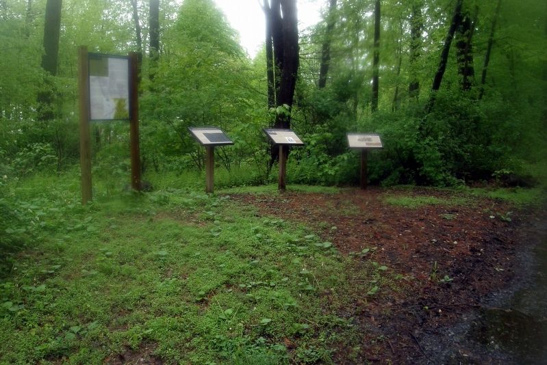
Other nearby markers. At least 8 other markers are within walking distance of this marker. The Underground Railroad (here, next to this marker); The Battle of Monterey Pass (here, next to this marker); Before The Battle Of Gettysburg (a few steps from this marker); Blue Ridge Summit Lions (within shouting distance of this marker); The Retreat From Gettysburg (within shouting distance of this marker); Brown's Spring (within shouting distance of this marker); a different marker also named The Battle of Monterey Pass (within shouting distance of this marker); a different marker also named The Battle of Monterey Pass (about 300 feet away, measured in a direct line). Touch for a list and map of all markers in Waynesboro.
Credits. This page was last revised on February 7, 2023. It was originally submitted on July 3, 2019, by Larry Gertner of New York, New York. This page has been viewed 341 times since then and 25 times this year. Last updated on July 11, 2022, by Carl Gordon Moore Jr. of North East, Maryland. Photos: 1, 2, 3, 4, 5, 6. submitted on July 3, 2019, by Larry Gertner of New York, New York. • Bill Pfingsten was the editor who published this page.
