Veracruz, Mexico — The Gulf Coast (North America)
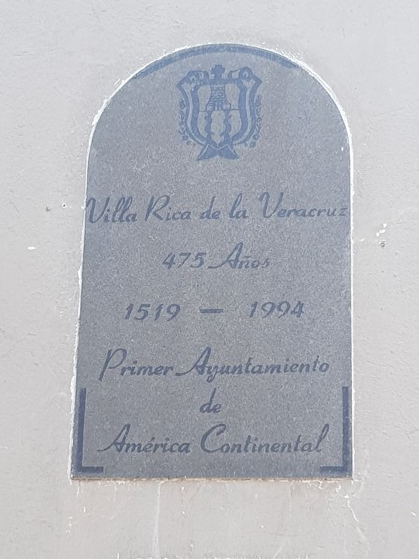
Founding of Villa Rica de la Veracruz
475 Años
1519-1994
Primer Ayuntamiento de América Continental
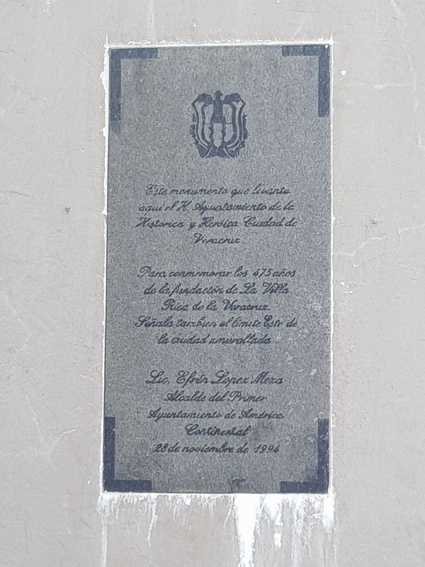
Este monumento que levanta aquí el H. Ayuntamiento de la Historica y Heroica Ciudad de Veracruz
Para conmemorar los 475 años de la fundación de La Villa Rica de la Veracruz. Señala también el limite Este de la ciudad amurallada.
Lic. Efren Lopez Meza
Alcalde del Primer Ayuntamiento de América Continental
28 de noviembre de 1994
Villa Rica de la Veracruz
475 Years
1519-1994
First City Council of Continental America
This monument is placed here by the City Council of the Historic and Heroic City of Veracruz to commemorate the 475 years since the founding of La Villa Rica de la Veracruz. It also indicates the eastern limit of the walled city.
Efren López Meza
Mayor of the First City Council of Continental America
November 28, 1994
Erected 1994 by Ayuntamiento de Veracruz.
Topics. This historical marker is listed in these topic lists: Colonial Era • Forts and Castles • Settlements & Settlers. A significant historical date for this entry is November 28, 1994.
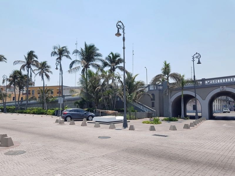
Location. 19° 12.189′ N, 96° 8.365′ W. Marker is in Veracruz. Marker is at the intersection of Marina Mercante and Calle Constitución, on the left when traveling north on Marina Mercante. Touch for map. Marker is in this post office area: Veracruz 91700, Mexico. Touch for directions.
Other nearby markers. At least 8 other markers are within walking distance of this marker. Mail and Telegraph Building (about 90 meters away, measured in a direct line); Monument to Spanish Exiles in Mexico (about 90 meters away); The Plaza of the Republic (about 150 meters away); The Hemicycle to Juárez (about 180 meters away); The Convent of San Francisco (about 180 meters away); Birthplace of Manuel Gutiérrez Zamora (about 210 meters away); Luz Nava (about 210 meters away); Birthplace of Salvador Díaz Mirón (about 240 meters away). Touch for a list and map of all markers in Veracruz.
Also see . . . The City of Veracruz. When the Spanish explorer Hernán Cortés arrived in Mexico on April 22, 1519, he founded a city here, which he named Villa Rica de la Vera Cruz, referring to the area’s gold and dedicated to the "True Cross", because he landed on the Christian holy day of Good Friday, the day of the Crucifixion. It was the first Spanish settlement on the mainland of the Americas to receive a coat-of-arms. During the colonial period, this city had the largest mercantile class and was at times wealthier than the capital of Mexico City. Its wealth attracted the raids of 17th-century pirates, against which fortifications such as Fort San Juan de Ulúa were built. In the 19th and early 20th centuries, Veracruz was invaded on different occasions by France and the United States; during the 1914 Tampico Affair, US troops occupied the city for seven months. (Submitted on July 9, 2019, by J. Makali Bruton of Accra, Ghana.)
Photographed By J. Makali Bruton, April 22, 2019
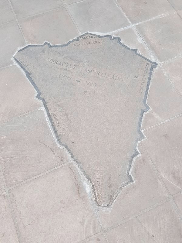
4. A nearby map of the walled city of Veracruz, 1698-1810
This map of Veracruz is embedded into the paving near the marker and cannon. The marker's current location would have been at the bottom of the map, the previous location of the Concepción Bastion (Baluarte Concepción). This is the most western portion of the previous wall around the city, not the most eastern as the marker mentions.
Credits. This page was last revised on June 19, 2023. It was originally submitted on July 9, 2019, by J. Makali Bruton of Accra, Ghana. This page has been viewed 237 times since then and 38 times this year. Photos: 1, 2, 3, 4, 5. submitted on July 9, 2019, by J. Makali Bruton of Accra, Ghana.
