Rhinebeck in Dutchess County, New York — The American Northeast (Mid-Atlantic)
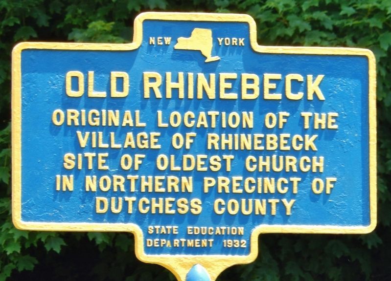
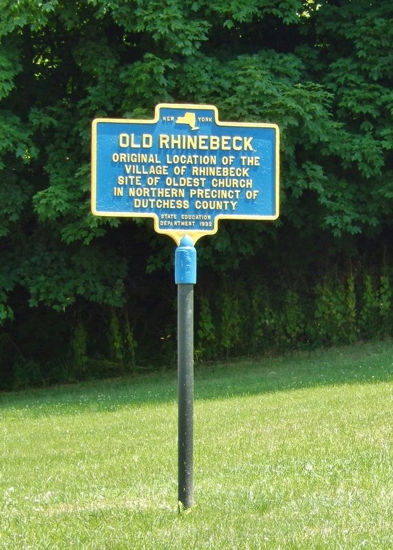
Old Rhinebeck
Village of RhinebeckSite of oldest church
in northern precinct of
Dutchess County
Erected 1932 by New York State Education Department.
Topics. This historical marker is listed in these topic lists: Churches & Religion • Colonial Era • Settlements & Settlers.
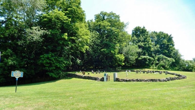
Location. 41° 57.489′ N, 73° 53.578′ W. Marker is in Rhinebeck, New York, in Dutchess County. Marker is on Albany Post Road (U.S. 9) north of Old Post Road (Wey Road), on the right when traveling north. Touch for map. Marker is in this post office area: Rhinebeck NY 12572, United States of America. Touch for directions.
Other nearby markers. At least 8 other markers are within 3 miles of this marker, measured as the crow flies. Hudson River National Historic Landmark District (approx. 1.6 miles away); St. Margaret's (approx. 1.7 miles away); Old Rhinebeck Aerodrome (approx. 1.7 miles away); James S. Hare (approx. 1.8 miles away); Building the Bridge (approx. 2.2 miles away); The Bridge Engineers (approx. 2.2 miles away); The New York State Bridge Authority (approx. 2.3 miles away); Scenic Splendor Unsurpassed Anywhere (approx. 2.3 miles away).
Also see . . . Rhinebeck, New York. Wikipedia entry:
European settlement in the Rhinebeck area dates to 1686, when a group of Dutch crossed the river from Kingston and bought 2,200 acres of land from the local Iroquois nation. In 1703, the New York colonial assembly approved money for the construction of the King's Highway, later known as the Albany Post Road and today most of Route 9. (Submitted on July 17, 2019, by Cosmos Mariner of Cape Canaveral, Florida.)
Credits. This page was last revised on October 5, 2021. It was originally submitted on July 10, 2019, by Cosmos Mariner of Cape Canaveral, Florida. This page has been viewed 366 times since then and 34 times this year. Photos: 1, 2, 3. submitted on July 17, 2019, by Cosmos Mariner of Cape Canaveral, Florida.


