Clinton in Worcester County, Massachusetts — The American Northeast (New England)
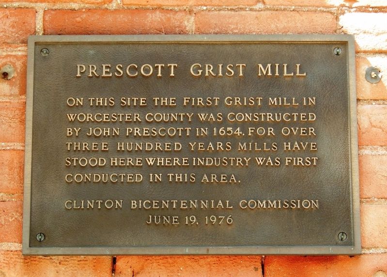
Prescott Grist Mill
Erected 1976 by Clinton Bicentennial Commission.
Topics. This historical marker is listed in these topic lists: Colonial Era • Industry & Commerce. A significant historical year for this entry is 1654.
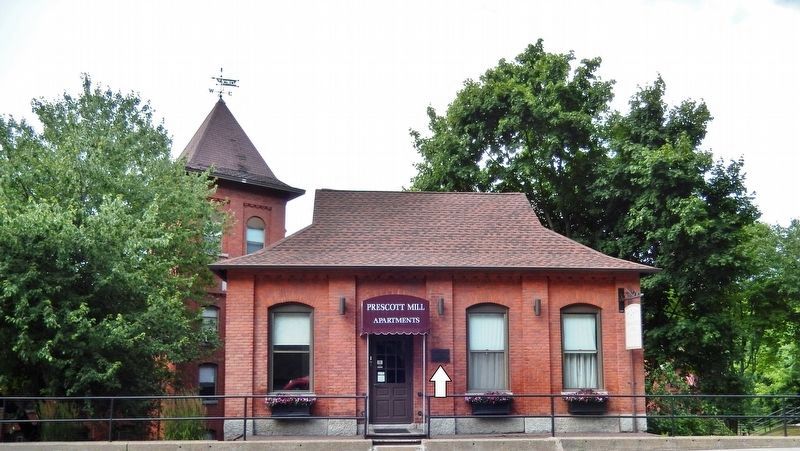
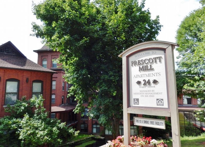
Location. 42° 25.273′ N, 71° 41.141′ W. Marker is in Clinton, Massachusetts, in Worcester County. Marker is on Water Street (Massachusetts Route 110) west of West Street, on the right when traveling west. Marker is mounted at eye-level on the former Prescott Mill building at this address, facing Water Street. Touch for map. Marker is at or near this postal address: 24 Water Street, Clinton MA 01510, United States of America. Touch for directions.
Other nearby markers. At least 8 other markers are within 3 miles of this marker, measured as the crow flies. Sawyer-Carter Bridge (approx. 1.2 miles away); Rowlandson Rock (approx. 1.4 miles away); a different marker also named Rowlandson Rock (approx. 1.8 miles away); Site of the Great Elm (approx. 1.9 miles away); Site of Mary Rowlandson’s Capture (approx. 2.1 miles away); Lancaster (approx. 2.3 miles away); Neck Bridge (approx. 2.4 miles away); Mary Sawyer’s Birthplace (approx. 2.7 miles away).
Also see . . . History of the Origin of the town of Clinton, Massachusetts, 1653-1865. (Submitted on July 21, 2019, by Cosmos Mariner of Cape Canaveral, Florida.)
Credits. This page was last revised on October 16, 2020. It was originally submitted on July 14, 2019, by Cosmos Mariner of Cape Canaveral, Florida. This page has been viewed 490 times since then and 59 times this year. Photos: 1, 2, 3. submitted on July 21, 2019, by Cosmos Mariner of Cape Canaveral, Florida.


