Belle in Kanawha County, West Virginia — The American South (Appalachia)
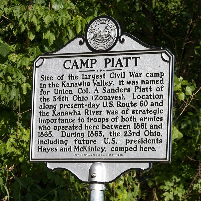
Camp Piatt
Erected 2017 by West Virginia Archives and History.
Topics and series. This historical marker is listed in this topic list: War, US Civil. In addition, it is included in the Former U.S. Presidents: #19 Rutherford B. Hayes, the Former U.S. Presidents: #25 William McKinley, and the West Virginia Archives and History series lists. A significant historical year for this entry is 1861.
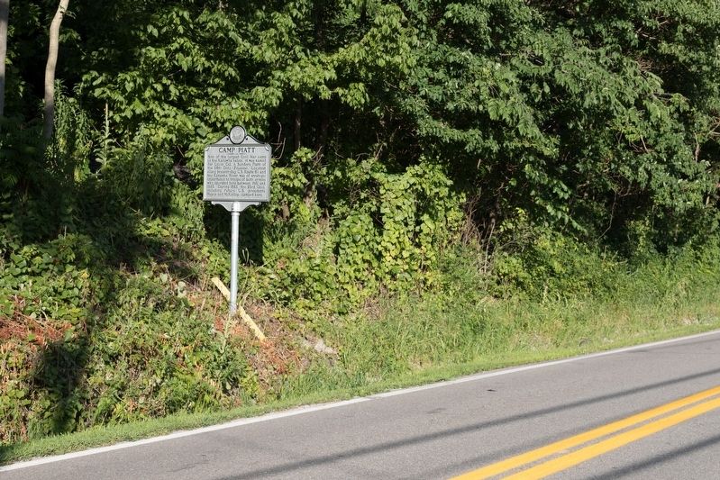
Location. 38° 14.987′ N, 81° 33.697′ W. Marker is in Belle, West Virginia, in Kanawha County. Marker is on West Dupont Avenue (Local Route 60/12) north of West 15th Street, on the right when traveling north. Touch for map. Marker is at or near this postal address: 1617 W Dupont Ave, Belle WV 25015, United States of America. Touch for directions.
Other nearby markers. At least 8 other markers are within walking distance of this marker. World War II Memorial (approx. half a mile away); Captain Larry F. Lucas (approx. half a mile away); Veterans Memorial (approx. half a mile away); Corporal Victor Theodore Lake Jr. (approx. half a mile away); Marmet Veteran's Tribute (approx. half a mile away); Battle of Blair Mountain (approx. half a mile away); Marmet (approx. half a mile away); Courage in the Hollers (approx. half a mile away).
Also see . . . e-WV entry. “The camp was located in Belle, at Malones Landing about 15 miles south of Charleston. The camp was strategically situated on the Kanawha River, where it served as a major hub for the steamboats which carried soldiers as well as supplies for the Union cause.” (Submitted on August 14, 2019.)
Credits. This page was last revised on August 14, 2019. It was originally submitted on August 13, 2019, by J. J. Prats of Powell, Ohio. This page has been viewed 442 times since then and 58 times this year. Photos: 1. submitted on August 13, 2019, by J. J. Prats of Powell, Ohio. 2. submitted on August 14, 2019, by J. J. Prats of Powell, Ohio.

