Near Debert in Colchester County, Nova Scotia — The Atlantic Provinces (North America)
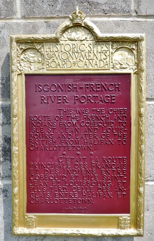
Isgonish-French River Portage
This was the chief route of the French and Indians from Cobequid to Isle St. Jean and Louisbourg and later of the British from Halifax to Charlottetown.
C’était la route principale des Français et des Indiens entre Cobequid et L’Ile Saint-Jean et Louisbourg, et plus tard, celle des Anglais, entre Halifax et Charlottetown.
Erected 1947 by Historic Sites and Monuments Board of Canada.
Topics and series. This historical marker is listed in these topic lists: Notable Places • Waterways & Vessels. In addition, it is included in the Acadian History, and the Canada, Historic Sites and Monuments Board series lists.
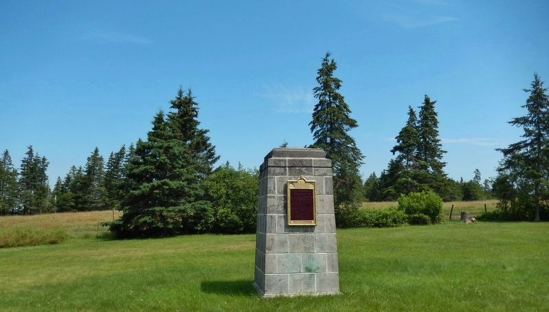
Location. 45° 23.007′ N, 63° 24.821′ W. Marker is near Debert, Nova Scotia, in Colchester County. Marker is on Glooscap Trail (National Route 2) half a kilometer west of Belmont Road/Fort Belcher Road, on the right when traveling west. Marker and monument are located in a grassy area near a pull-out on the north side of the highway. Touch for map. Marker is in this post office area: Debert NS B0M, Canada. Touch for directions.
Other nearby markers. At least 7 other markers are within 11 kilometers of this marker, measured as the crow flies. First Landing (approx. 7.3 kilometers away); The Lumber Jack, circa 1900 (approx. 10.5 kilometers away); Truro Post Office / Le Bureau de Poste de Truro (approx. 10.6 kilometers away); First Presbyterian/United Church (approx. 10.7 kilometers away); Centennial of Presbyterian Church Formation in Canada (approx. 10.7 kilometers away); Old Provincial Normal College (approx. 10.8 kilometers away); War Memorial (approx. 10.8 kilometers away).
Credits. This page was last revised on September 8, 2019. It was originally submitted on September 8, 2019, by Cosmos Mariner of Cape Canaveral, Florida. This page has been viewed 233 times since then and 24 times this year. Photos: 1, 2, 3, 4. submitted on September 8, 2019, by Cosmos Mariner of Cape Canaveral, Florida.


