Princeton in Mercer County, West Virginia — The American South (Appalachia)
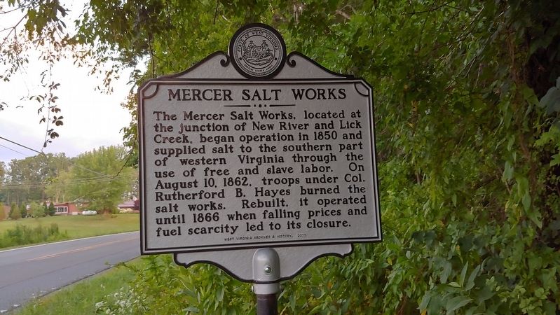
Mercer Salt Works
Erected 2017 by West Virginia Archives and History.
Topics and series. This historical marker is listed in these topic lists: Industry & Commerce • War, US Civil. In addition, it is included in the West Virginia Archives and History series list. A significant historical year for this entry is 1850.
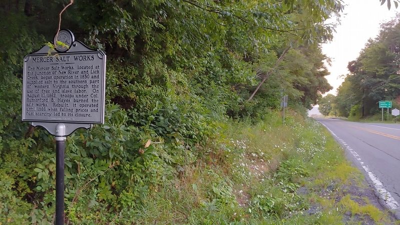
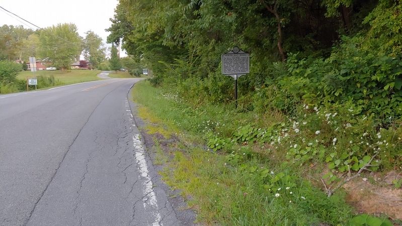
Location. 37° 30.791′ N, 80° 58.072′ W. Marker is in Princeton, West Virginia, in Mercer County. Marker is at the intersection of Hinton Road (West Virginia Route 20) and Indian Ridge (County Road 26), on the right when traveling south on Hinton Road. Located just north of the entrance to Pipestem State Park. Touch for map. Marker is in this post office area: Pipestem WV 25979, United States of America. Touch for directions.
Other nearby markers. At least 8 other markers are within 3 miles of this marker, measured as the crow flies. Farley's Fort / Thomas Farley (within shouting distance of this marker); Pipestem Knob Primitive Baptist Church (approx. 0.3 miles away); Neely "Plantation" (approx. 0.3 miles away); Mercer County / Summers County (approx. 0.7 miles away); Jordan's Chapel (approx. 2.2 miles away); Bluestone River (approx. 2.2 miles away); Pipestem Falls (approx. 2˝ miles away); Bluestone National Scenic River (approx. 2.8 miles away).
Credits. This page was last revised on June 14, 2020. It was originally submitted on September 24, 2019, by Michael C. Wilcox of Winston-Salem, North Carolina. This page has been viewed 458 times since then and 56 times this year. Photos: 1, 2, 3. submitted on September 24, 2019, by Michael C. Wilcox of Winston-Salem, North Carolina.


