Marker Logo HMdb.org THE HISTORICAL
MARKER DATABASE
“Bite-Size Bits of Local, National, and Global History”
Near Gaston in Delaware County, Indiana — The American Midwest (Great Lakes)
 

Elizabethtown


Elizabethtown Marker image. Click for full size.
Photographed By Rev. Ronald Irick, October 15, 2019
1. Elizabethtown Marker
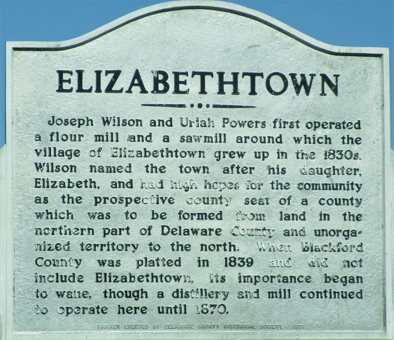
Inscription. Joseph Wilson and Uriah Powers first operated a flour mill and a sawmill around which the village of Elizabethtown grew up in the 1830s. Wilson named the town after his daughter, Elizabeth, and had high hopes for the community as a prospective county seat of a county which was formed from land in the northern part of Delaware County and unorganized territory to the north. When Blackford County was platted in 1839 and did not include Elizabethtown, its importance began to wane, though a distillery and mill continued to operate here until 1870.
 
Erected 1971 by Delaware County Historical Society.
 
Topics. This historical marker is listed in these topic lists: Industry & CommerceSettlements & SettlersWomen. A significant historical year for this entry is 1839.
 
Location. 40° 22.463′ N, 85° 27.414′ W. Marker is near Gaston, Indiana, in Delaware County. Marker is at the intersection of County Road 370 and County Road 1270, on the right when traveling north on County Road 370. Touch for map. Marker is at or near this postal address: 20242 Co Rd N 370 W, Gaston IN 47342, United States of America. Touch for directions.
 
Other nearby markers. At least 8 other markers are within 5 miles of this marker, measured as the crow flies. Cumberland Covered Bridge (approx. 1.8 miles away); The New Cumberland Gristmill 1853-1920 (approx.
Paid Advertisement
Click on the ad for more information.
Please report objectionable advertising to the Editor.
Click or scan to see
this page online
1.8 miles away); This Covered Bridge (approx. 1.8 miles away); Covered Bridge (approx. 1.9 miles away); Matthews Veterans Memorial (approx. 1.9 miles away); Lt. Col. Thomas W. (Bill) Boles (approx. 1.9 miles away); Snagtown ~ New Corner (approx. 4.8 miles away); The Village of Trask (approx. 4.8 miles away).
 
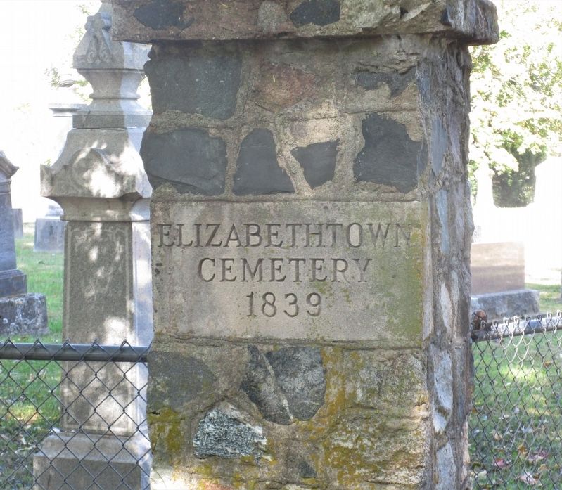
More about this marker. Elizabethtown Cemetery is further east on Rd W1270N, above the junction of Big Lick Creek and the Mississinewa River, site of the mill.
 
Elizabethtown Marker image. Click for full size.
Photographed By Rev. Ronald Irick, October 15, 2019
2. Elizabethtown Marker
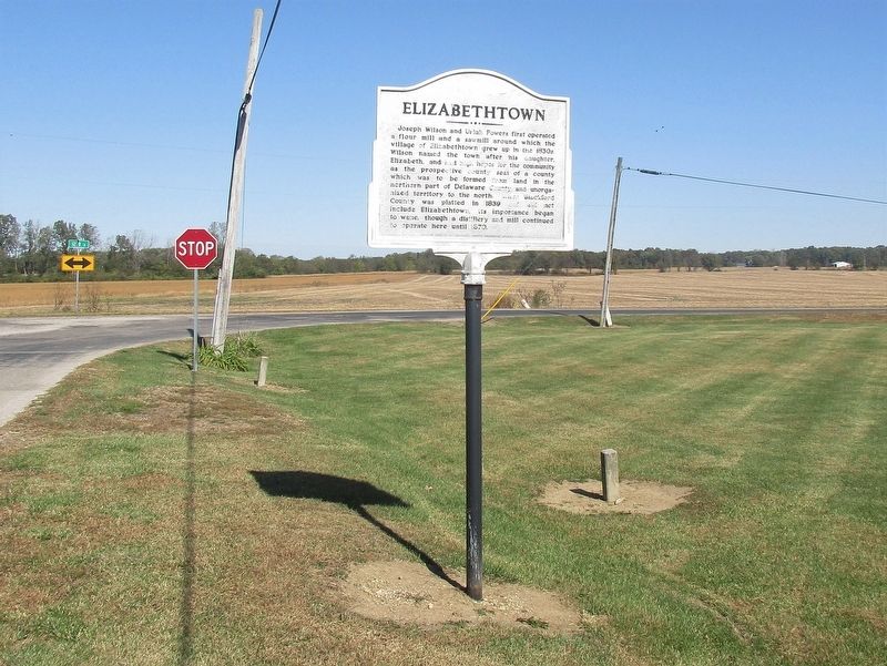
full view of marker, looking north from Rd N 370 W
Elizabethtown Marker image. Click for full size.
Photographed By Rev. Ronald Irick, October 15, 2019
3. Elizabethtown Marker
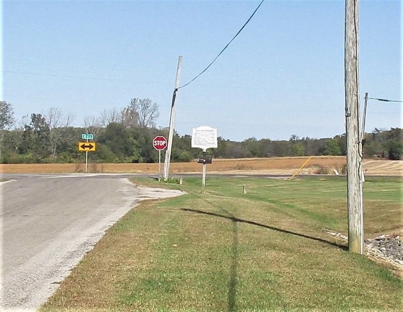
marker as seen from a distance
Elizabethtown Marker image. Click for full size.
Photographed By Rev. Ronald Irick, October 15, 2019
4. Elizabethtown Marker
the Elizabethtown Cemetery gate, east of the marker
 
 
Credits. This page was last revised on October 22, 2019. It was originally submitted on October 22, 2019, by Rev. Ronald Irick of West Liberty, Ohio. This page has been viewed 267 times since then and 43 times this year. Photos:   1, 2, 3, 4. submitted on October 22, 2019, by Rev. Ronald Irick of West Liberty, Ohio. • Devry Becker Jones was the editor who published this page.
Share this page.  
Share on Tumblr
m=141424

CeraNet Cloud Computing sponsors the Historical Marker Database.
This website earns income from purchases you make after using our links to Amazon.com. We appreciate your support.
Paid Advertisement
May. 8, 2024