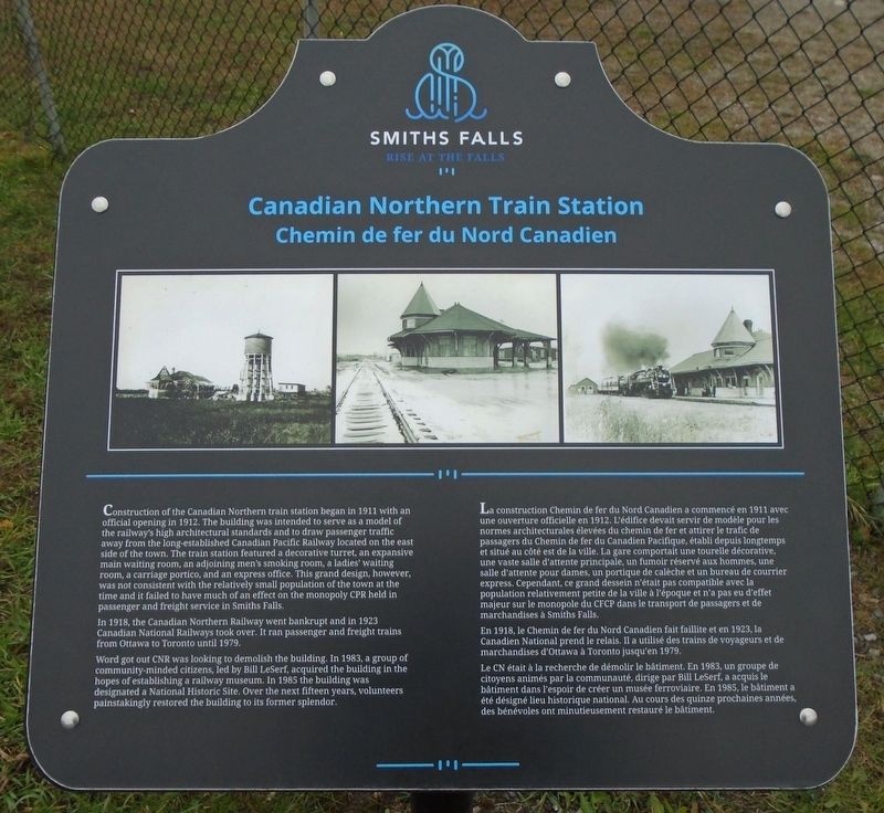
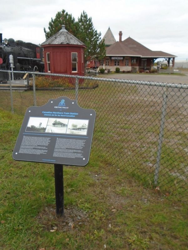
Canadian Northern Train Station / Chemin de fer du Nord Canadien
Smiths Falls
— Rise at the Falls —
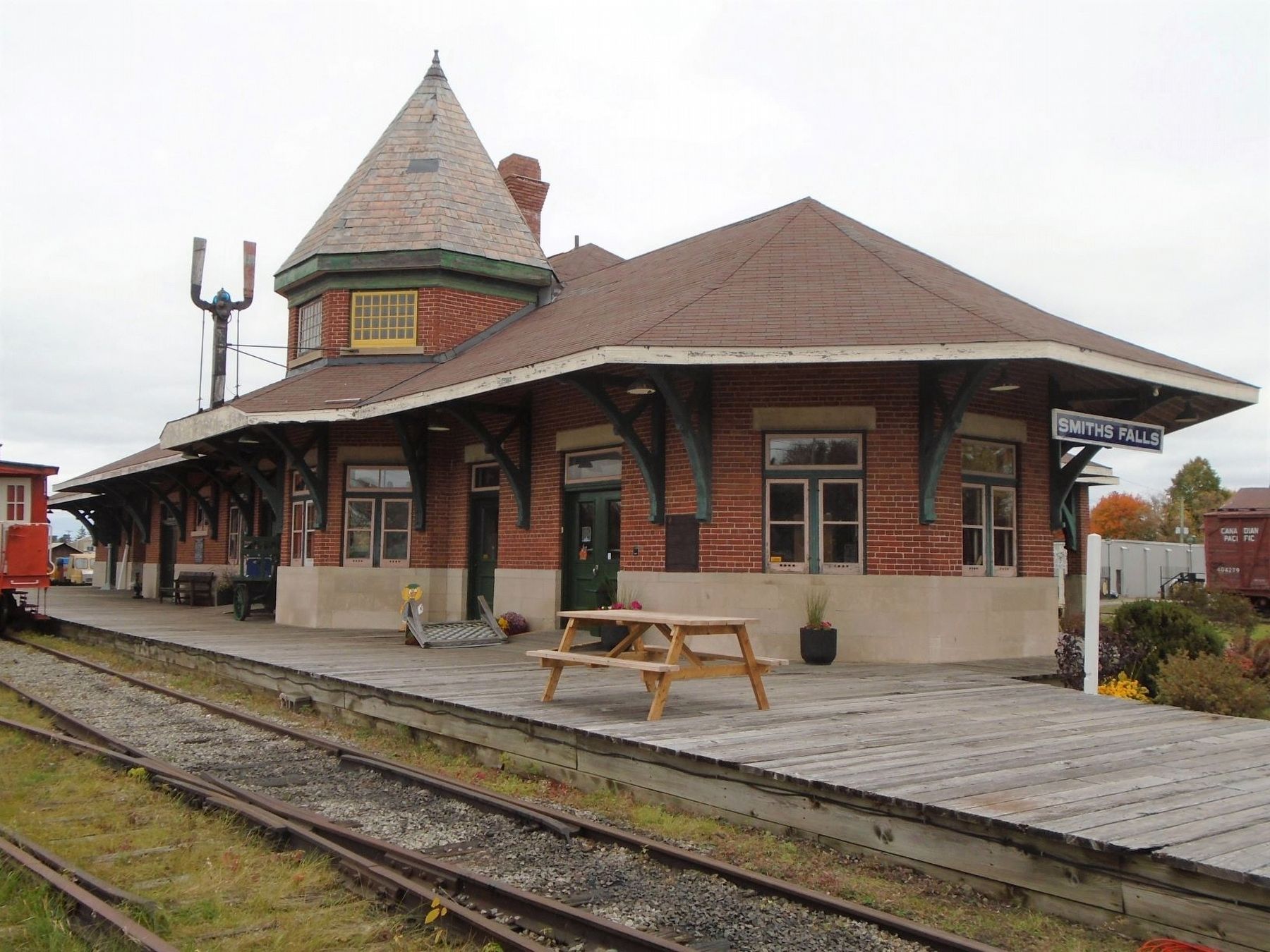
Construction of the Canadian Northern train station began in 1911 with an official opening in 1912. The building was intended to serve as a model of the railway's high architectural standards and to draw passenger traffic away from the long-established Canadian Pacific Railway located on the east side of the town. The train station featured a decorative turret, an expansive main waiting room, an adjoining men's smoking room, a ladies' waiting room, a carriage portico, and an express office. This grand design, however, was not consistent with the relatively small population of the town at the time and it failed to have much of an effect on the monopoly CPR held in passenger and freight service in Smiths Falls.
In 1918, the Canadian Northern Railway went bankrupt and in 1923 Canadian National Railways took over. It ran passenger and freight trains from Ottawa to Toronto until 1979.
Word got out CNR was looking to demolish the building. In 1983, a group of community-minded citizens, led by Bill LeSerf, acquired the building in the hopes of establishing a railway museum. In 1985 the building was designated a National
Historic Site. Over the next fifteen years, volunteers painstakingly restored the building to its former splendor.En 1918, le Chemin de fer du Nord Canadien fait faillite et en 1923, la Canadien National prend le relais. Il a utilisé des trains de voyageurs et de marchandises d'Ottawa à Toronto jusqu'en 1979.
Le CN était à la recherche de démolir le bâtiment. En 1983, un groupe de citoyens animés par la communauté, dirige par Bill LeSerf, a acquis le bâtiment dans l'espoir de créer
Erected by Town of Smiths Falls.
Topics. This historical marker is listed in these topic lists: Industry & Commerce • Man-Made Features • Railroads & Streetcars. A significant historical year for this entry is 1911.
Location. 44° 54.061′ N, 76° 1.703′ W. Marker is in Smiths Falls, Ontario, in Lanark County. Marker is on Williams Street just north of Abbott Street, on the right when traveling west. Touch for map. Marker is at or near this postal address: 90 Williams Street West, Smiths Falls ON K7A 5A5, Canada. Touch for directions.
Other nearby markers. At least 8 other markers are within walking distance of this marker. Canadian Northern Railway Station / La Gare de la Societe Canadian Northern Railway (within shouting distance of this marker); Town Hall / L'Hôtel de Ville (approx. 0.6 kilometers away); World War Memorial (approx. 0.6 kilometers away); Centennial Park (approx. 0.6 kilometers away); Smiths Falls and the Dam / Smiths Falls et le Barrage (approx. 0.6 kilometers away); Water Works / Station de Production d'Eau Potable (approx. 0.6 kilometers away); Wood's Mill / Moulin de Wood (approx. 0.7
Also see . . .
1. Railway Museum of Eastern Ontario. Museum website homepage (Submitted on November 2, 2019, by William Fischer, Jr. of Scranton, Pennsylvania.)
2. Beautiful Smiths Falls. Town website entry (Submitted on September 3, 2022, by Larry Gertner of New York, New York.)
3. Canadian Northern Railway. Canadian Encyclopedia website entry (Submitted on November 2, 2019, by William Fischer, Jr. of Scranton, Pennsylvania.)
Credits. This page was last revised on September 3, 2022. It was originally submitted on November 2, 2019, by William Fischer, Jr. of Scranton, Pennsylvania. This page has been viewed 187 times since then and 11 times this year. Photos: 1, 2, 3. submitted on November 2, 2019, by William Fischer, Jr. of Scranton, Pennsylvania.


