Fort Benton in Chouteau County, Montana — The American West (Mountains)
Mullan Wagon Road
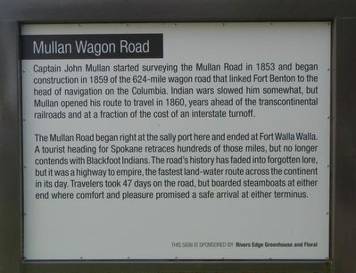
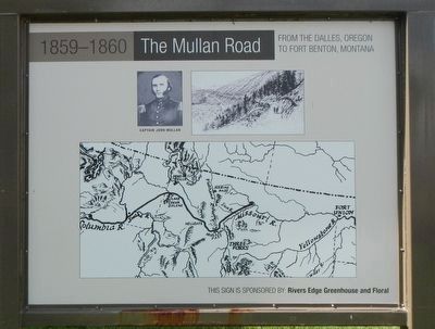
The Mullan Road began right at the sally port here and ended at Fort Walla Walla. A tourist heading for Spokane retraces hundreds of those miles, but no long contends with Blackfoot Indians. The road's history has faded into forgotten lore, but it was a highway to empire, the fastest land-water route across the continent in its day. Travelers took 47 days on the road, but boarded steamboats at either end where comfort and pleasure promised a safe arrival at either terminus.
Erected by Fort Benton Community Improvement Association.
Topics and series. This historical marker is listed in this topic list: Roads & Vehicles. In addition, it is included in the ASCE Civil Engineering Landmarks series list.
Location. 47° 49.166′ N, 110° 39.912′ W. Marker is in Fort Benton, Montana, in Chouteau County. Marker is on Front Street near 17th Street , on the right when traveling north. Touch for map. Marker is in this post office area: Fort Benton MT 59442, United States of America. Touch for directions.
Other nearby markers. At least 8 other markers are within walking distance of this marker. T.C. Power & Bro. (a few steps from this marker); T.C. Power Building (a few steps from this marker); Keelboat Mandan (within shouting distance of this marker); Drowning of the Governor (within shouting distance of this marker); Thomas Francis Meager (within shouting distance of this marker); H.J. Wackerlin Hardware Company (within shouting distance of this marker); T.C. Power Dry Goods Store (within shouting distance of this marker); The Montana Memorial (within shouting distance of this marker). Touch for a list and map of all markers in Fort Benton.
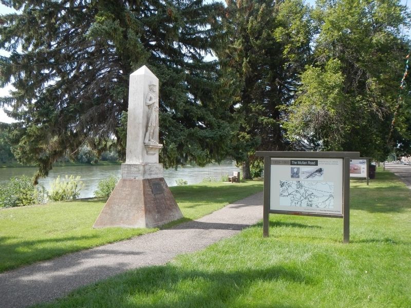
More about this marker. This marker is in Fort Benton's riverside park.
Credits. This page was last revised on November 7, 2019. It was originally submitted on November 6, 2019, by Barry Swackhamer of Brentwood, California. This page has been viewed 319 times since then and 49 times this year. Photos: 1, 2, 3, 4. submitted on November 6, 2019, by Barry Swackhamer of Brentwood, California.


