Near Middleburgh in Schoharie County, New York — The American Northeast (Mid-Atlantic)
Town of Broome
Schoharie County
— Right in the Heart of New York State —
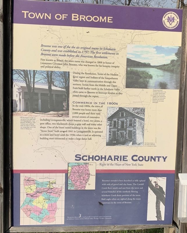
Broome was one of the six original towns in Schoharie County and was established in 1797. The first settlements in Broome were made before the American Revolution.
First known as Bristol, the town name was changed in 1808 in honor of Lieutenant Governor John Broome, who was known for his honesty, integrity and political ability.
During the Revolution, Tories of the Hudson River region and Indians of the Susquehanna Valley kept in communication through this territory. Scouts from the Middle and Upper Forts built farther north in the Schoharie Valley often came to Broome to intercept loyalists as they passed through the region.
Commerce in the 1800s
In the mid-1800s, the town of Broome was home more than 2,000 people and there were several centers of commerce including Livingstonville, which boasted a hotel, two stores, a post office, two blacksmith shops, a grist mill and many other shops. One of the more noted buildings in the town was the "Stone Store” built around 1841 in Livingstonville. It operated as a store and hotel until the 1930s when it and an adjoining Brad building were connected to make a large dance hall.
Broome's terrain is best described as hilly upland with soils of gravel and clay loam. The Catskill Creek flows south and east from the town and several branches of the northerly flowing Schoharie Creek drain portions of the town. Bald eagles often are sighted along the many waterways in the Town of Broome.
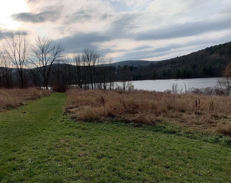
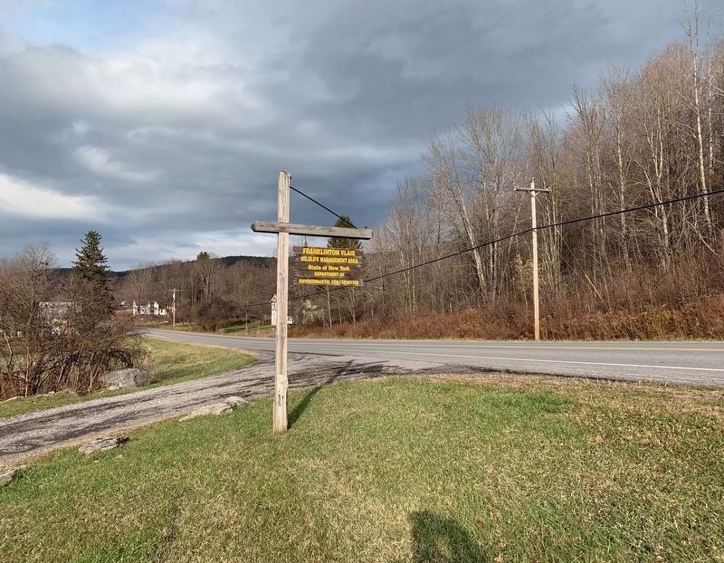
(top right) Franklinton Vlaie, located along Route 145 is a scenic recreational , ecological, and natural wonder. This freshwater wetland is an invaluable resource for wildlife habitat and for flood protection.
(bottom right) The Stone Store in the Town of Broome as it appeared in 1970.
(left) The Richtmyer Tavern the site of the first town meeting in Broome (then Bristol) on April 4, 1797. Through land divisions from the Town of Broome, the tavern now lies in the Town of Conesville
Erected by Mohawk Valley Heritage Corridor.
Topics. This historical marker is listed in these topic lists: Parks & Recreational Areas • Settlements & Settlers. A significant historical date for this entry is April 4, 1797.
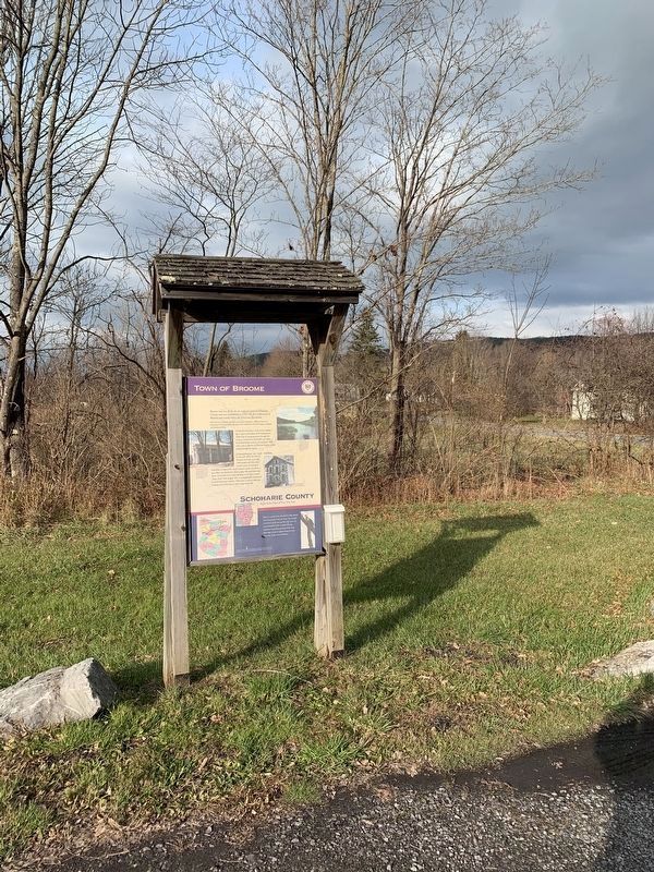
Location. 42° 31.868′ N, 74° 18.001′ W. Marker is near Middleburgh, New York, in Schoharie County. Marker is on New York State Route 145, 0.2 miles south of Thorington Road, on the right when traveling south. Touch for map. Marker is in this post office area: Middleburgh NY 12122, United States of America. Touch for directions.
Other nearby markers. At least 8 other markers are within 5 miles of this marker, measured as the crow flies. Stone Store (approx. 3.1 miles away); Burial Place (approx. 4.2 miles away); Hon. Jonathan Danforth Home (approx. 4.4 miles away); 1st Reformed Church (approx. 4.7 miles away); Indian Village (approx. 4.8 miles away); Weiser's Dorf (approx. 4.9 miles away); Smoke Generator (approx. 5 miles away); Vroman's Land (approx. 5 miles away). Touch for a list and map of all markers in Middleburgh.
Also see . . . Broome, New York (Wikipedia). (Submitted on November 12, 2019, by Michael Herrick of Southbury, Connecticut.)
Credits. This page was last revised on November 12, 2019. It was originally submitted on November 10, 2019, by Steve Stoessel of Niskayuna, New York. This page has been viewed 199 times since then and 19 times this year. Photos: 1, 2, 3, 4. submitted on November 10, 2019, by Steve Stoessel of Niskayuna, New York. • Michael Herrick was the editor who published this page.


