Spanish Lake in St. Louis County, Missouri — The American Midwest (Upper Plains)
Fort Belle Fontaine
Bicentennial Commemoration
— 1806-2006 —
Erected 2006 by Daughters of the American Revolution (St. Louis-Jefferson Chapter).
Topics and series. This historical marker is listed in these topic lists: Exploration • Forts and Castles • Parks & Recreational Areas. In addition, it is included in the Daughters of the American Revolution series list. A significant historical date for this entry is September 22, 1806.
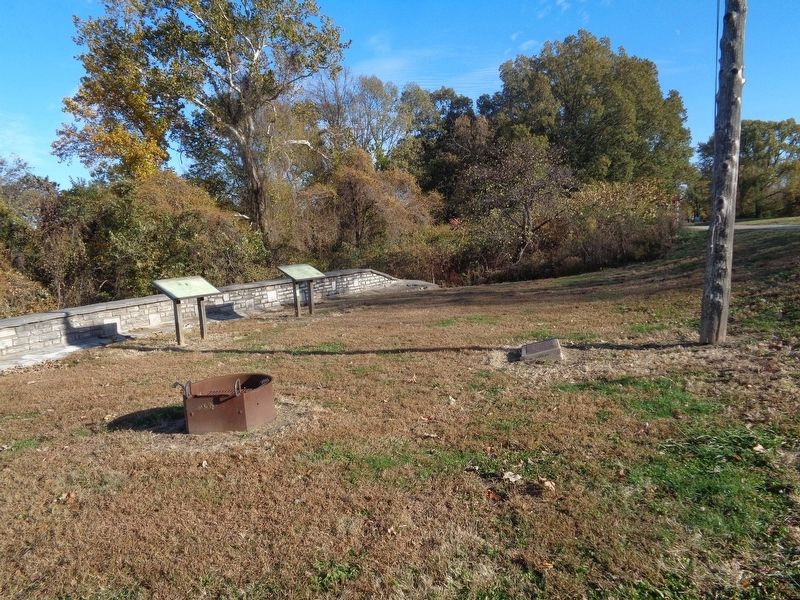
Location. 38° 49.643′ N, 90° 12.816′ W. Marker is in Spanish Lake, Missouri, in St. Louis County. Marker is on Bellefontaine Road, 0.7 miles north of Fountainhead Lane, on the left when traveling east. Marker is on the grounds of Fort Belle Fontaine Park, on top of the stonewall structure. Please note that the marker is accessed only from 8am to the park's closure (30 minutes after sunset). Visitors may be asked to check in with the guards at the park's entrance. Touch for map. Marker is at or near this postal address: 13002 Bellefontaine Road, Saint Louis MO 63138, United States of America. Touch for directions.
Other nearby markers. At least 8 other markers are within 2 miles of this marker, measured as the crow flies. A different marker also named Fort Belle Fontaine (within shouting distance of this marker); The Lewis and Clark Expedition (within shouting distance of this marker); Belle Fontaine - Beautiful Fountain (about 600 feet away, measured in a direct line); Welcome to Fort Belle Fontaine (approx. 0.3 miles away); a different marker also named Fort Belle Fontaine (approx. 0.3 miles away); Coldwater Creek (approx. ¾ mile away); Spanish Lake (approx. 2 miles away); Columbia Bottom Conservation Area (approx. 2 miles away). Touch for a list and map of all markers in Spanish Lake.
Credits. This page was last revised on November 13, 2019. It was originally submitted on November 12, 2019, by Jason Voigt of Glen Carbon, Illinois. This page has been viewed 155 times since then and 16 times this year. Photos: 1, 2. submitted on November 12, 2019, by Jason Voigt of Glen Carbon, Illinois. • Devry Becker Jones was the editor who published this page.

