Mechanicsville in Hanover County, Virginia — The American South (Mid-Atlantic)
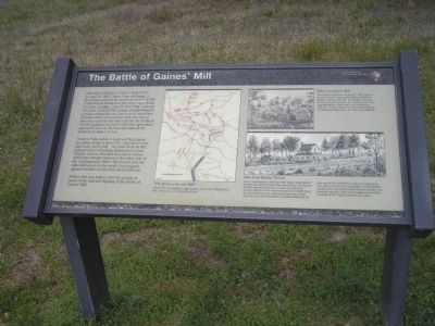
The Battle of Gaines’ Mill
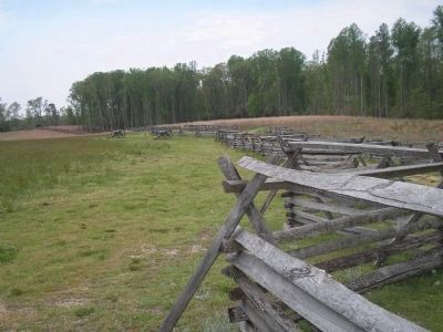
Porter’s Union soldiers reached this plateau by mid-morning of June 27th. They faced west and north, occupying a two mile front on this high ground overlooking Boatswain’s Creek. Porter’s defense shielded the army’s retreat which had already started on the other side of the Chickahominy River. The river is just one mile behind you to the south. Lee’s assault against this line would begin about 2:00 pm.
Follow this loop trail to visit the scenes of some of the heaviest fighting of the Battle of Gaines’ Mill.
Erected by Richmond National Battlefield Park - National Park Service.
Topics. This historical marker is listed in this topic list: War, US Civil. A significant historical date for this entry is June 26, 1862.
Location. This marker has been replaced by another marker nearby. 37° 34.455′ N, 77° 17.447′ W. Marker is in Mechanicsville, Virginia, in Hanover County. Marker is on Watt House Road (Virginia Route 718), on the right when traveling south. Marker is in the Gaines’ Mill Battlefield Unit of Richmond National Battlefield Park. Touch for map. Marker is in this post office area: Mechanicsville VA 23111, United States of America. Touch for directions.
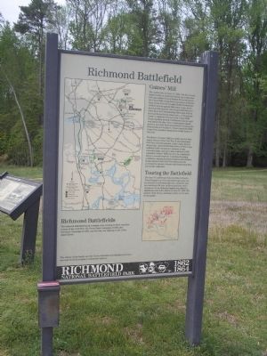
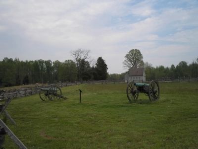
Other nearby markers. At least 8 other markers are within walking distance of this location. Gaines' Mill (here, next to this marker); Seven Days Battles (a few steps from this marker); The Watt House (within shouting distance of this marker); Springfield Plantation (within shouting distance of this marker); Lee’s First Victory: At a Huge Cost (within shouting distance of this marker); a different marker also named Battle of Gaines' Mill (within shouting distance of this marker); Confederate Pursuit (within shouting distance of this marker); Union Artillery (about 500 feet away, measured in a direct line). Touch for a list and map of all markers in Mechanicsville.
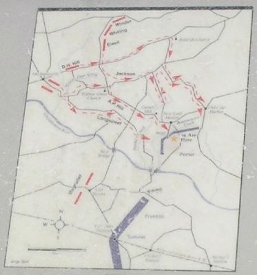
More about this marker. The upper right of the marker contains a picture of the Ruins of Gaines’ Mill. It has a caption of “The battle fought here on June 27, 1862 goes by several names. It most commonly is called the Battle of Gaines’ Mill. The actual grist mill from which the battle took its name is actually more than a mile northwest of here and was
destroyed in 1864 by Union cavalry as shown in this sketch by Lt. Robert Sneden of the 40th New York infantry.” The bottom right of the marker features a picture of New Cold Harbor Tavern with the caption “Some Confederates called the 1862 battle ‘Cold Harbor’ because the center of their line was at New Cold Harbor Tavern, shown in this sketch drawn in 1865 by Lt. Sneden. Robert E. Lee watched most of the battle from the yard of the tavern, which stood less than a mile north of here. Old Cold Harbor Tavern marked the far east end of the battlefield, nearly two miles from here. Most references to the Battle of Cold Harbor pertain to the June 1864 battle that was fought over this same ground. These rare images are provided courtesy of the Virginia Historical Society.” The center of the marker contains a map of the Road to Gaines’ Mill.
This marker was replaced by a new one named Battle of Gaines' Mill (see nearby markers).
Also see . . .
1. Places To Go in Richmond National Battlefield Park. National Park Service website. (Submitted on January 3, 2009, by Bill Coughlin of Woodland Park, New Jersey.)
2. The Seven Days Battle. HistoryCentral.com website. (Submitted on January 3, 2009, by Bill Coughlin of Woodland Park, New Jersey.)
3. Gaines' Mill Battlefield Loop Trail. This marker is
one along the loop trail in the Gaines' Mill Battlefield unit of the Richmond National Battlefield Park. (Submitted on February 26, 2009, by Bernard Fisher of Richmond, Virginia.)
4. Gaines' Mill Podcast. 8-stop, 1.5-mile walking tour narrated by NPS historian, Robert Krick. (Submitted on February 27, 2009, by Bernard Fisher of Richmond, Virginia.)
Credits. This page was last revised on February 23, 2017. It was originally submitted on January 3, 2009, by Bill Coughlin of Woodland Park, New Jersey. This page has been viewed 2,400 times since then and 36 times this year. Photos: 1, 2, 3, 4, 5, 6. submitted on January 3, 2009, by Bill Coughlin of Woodland Park, New Jersey.
