Grahamville in Jasper County, South Carolina — The American South (South Atlantic)
Battle of Honey Hill
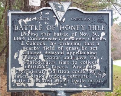
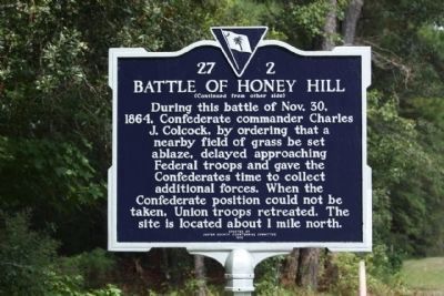
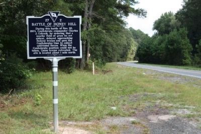
During this battle of Nov. 30, 1864, Confederate commander Charles J. Colock, by ordering that a nearby field of grass be set ablaze, delayed approaching Federal troops and gave the Confederates time to collect additional forces. When the Confederate position could not be taken, Union troops retreated. The site is located about 1 mile from here.
( Reverse text ):
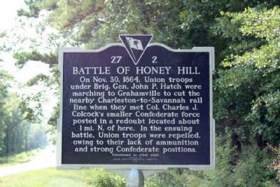
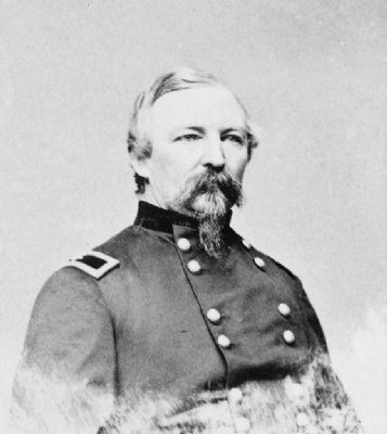
On Nov. 30, 1864 Union troops under Brig. John P. Hatch were marching to Grahamville to cut the nearby Charleston~Savannah rail line when they met Col. Charles J. Colcock's smaller Confederate force posted in a redoubt located about 1 mi. N. of here. In the ensuing battle,Union troops were repelled owing to their lack of ammunition and strong Confederate positions.
Erected 1978 by Jasper County Bicentennial Committee. (Marker Number 27-2.)
Topics. This historical marker is listed in these topic lists: African Americans • War, US Civil. A significant historical date for this entry is October 30, 1864.
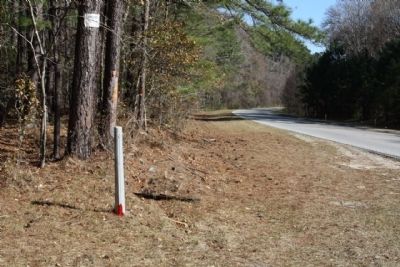
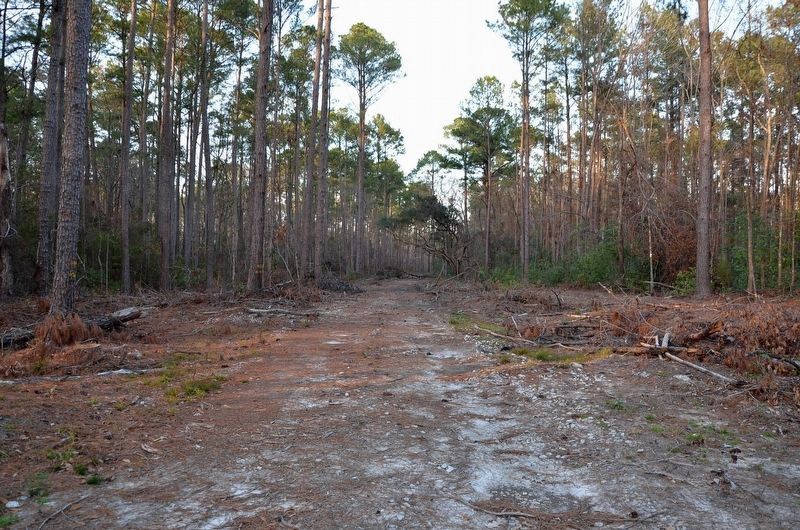
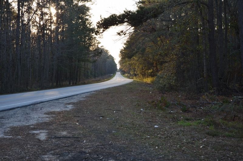
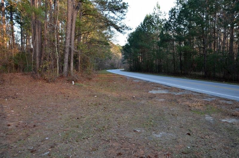
Location. This marker has been replaced by another marker nearby. It was located near 32° 28.818′ N, 80° 56.388′ W. Marker was in Grahamville, South Carolina, in Jasper County. Marker was on State Highway 336, on the left when traveling east. Heading East from Ridgeland. Touch for map. Marker was in this post office area: Ridgeland SC 29936, United States of America. Touch for directions.
Other nearby markers. At least 8 other markers are within 3 miles of this location, measured as the crow flies. Church of the Holy Trinity (approx. 1.6 miles away); Grahamville (approx. 1.6 miles away); Euhaw Baptist Church (approx. 1.8 miles away); Gopher Tortoise Square (approx. 2˝ miles away); Ridgeland (approx. 2˝ miles away); St. Paul's Methodist Church (approx. 2.6 miles away); Jasper County / Jasper County Courthouse (approx. 2.7 miles away); Tomb of Thomas Heyward, Jr. (approx. 2.9 miles away). Touch for a list and map of all markers in Grahamville.
Also see . . . Battle of Honey Hill. Resource Page. (Submitted on December 17, 2007, by Craig Swain of Leesburg, Virginia.)
Additional keywords. Frampton Line,U.S.C.T.
Credits. This page was last revised on November 5, 2020. It was originally submitted on December 15, 2007, by Mike Stroud of Bluffton, South Carolina. This page has been viewed 5,621 times since then and 92 times this year. Last updated on February 1, 2009, by Mike Stroud of Bluffton, South Carolina. Photos: 1. submitted on March 18, 2008, by Mike Stroud of Bluffton, South Carolina. 2. submitted on December 15, 2007, by Mike Stroud of Bluffton, South Carolina. 3. submitted on February 1, 2009, by Mike Stroud of Bluffton, South Carolina. 4, 5, 6. submitted on September 19, 2009, by Mike Stroud of Bluffton, South Carolina. 7, 8, 9. submitted on January 21, 2017, by Karl Stelly of Gettysburg, Pennsylvania. 10. submitted on February 28, 2010, by Michael Sean Nix of Spartanburg, South Carolina. • Craig Swain was the editor who published this page.
