Near Studley in Hanover County, Virginia — The American South (Mid-Atlantic)
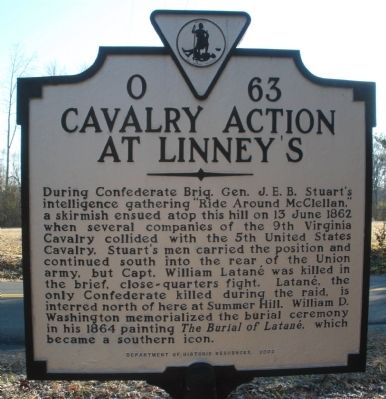
Cavalry Action At Linney's
Erected 2002 by Department of Historic Resources. (Marker Number O-63.)
Topics and series. This historical marker is listed in this topic list: War, US Civil. In addition, it is included in the Virginia Department of Historic Resources (DHR) series list. A significant historical date for this entry is June 13, 1862.
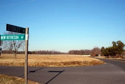
Location. 37° 39.237′ N, 77° 15.266′ W. Marker is near Studley, Virginia, in Hanover County. Marker is at the intersection of Studley Road and Southard Lane, on the right when traveling south on Studley Road. Touch for map. Marker is in this post office area: Mechanicsville VA 23116, United States of America. Touch for directions.
Other nearby markers. At least 8 other markers are within 3 miles of this marker, measured as the crow flies. Stuart's Ride (approx. 0.6 miles away); a different marker also named Stuart’s Ride (approx. 0.7 miles away); Edmund Ruffin's Grave (approx. 1½ miles away); “The Old Church” (approx. 1.9 miles away); a different marker also named Stuart's Ride (approx. 2.3 miles away); Studley Cemetery (approx. 2.3 miles away); Studley (approx. 2.3 miles away); Salem Church/Haw’s Shop (approx. 2.6 miles away). Touch for a list and map of all markers in Studley.
Photographed By Bernard Fisher, January 31, 2009
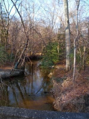
2. Totopotomoy Creek
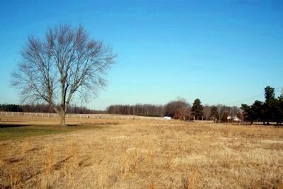
Lt. Edward S. Lieb's squadron (5th US Cavalry) held Stuart's troopers in check for 20 minutes on the north bank. Confederate horsemen outflanked the Union position by crossing the stream above and below the bridge. Lieb's men withdrew to Linney's Corner.
Photographed By Bernard Fisher, January 31, 2009
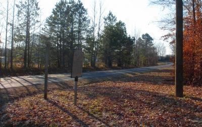
3. Stuart's troopers advanced up this incline into the open fields above.
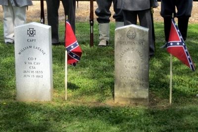
Union troopers, reinforced by cavalry under Capt. William B. Royall, formed a line atop the rise in an open field. The Confederates, led by Captain William Latane (9th Virginia Cavalry), charged and broke the Union line. Capt. Latane was shot and killed during this action. He was the lone Confederate casualty during "Stuart's Ride Around McClellan's Army".
Credits. This page was last revised on June 16, 2016. It was originally submitted on February 4, 2009, by Bernard Fisher of Richmond, Virginia. This page has been viewed 1,524 times since then and 44 times this year. Photos: 1, 2, 3, 4, 5. submitted on February 4, 2009, by Bernard Fisher of Richmond, Virginia. 6. submitted on June 12, 2012, by Bernard Fisher of Richmond, Virginia. • Craig Swain was the editor who published this page.
