Near Groveton in Prince William County, Virginia — The American South (Mid-Atlantic)
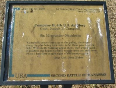
Company B, 4th U.S. Artillery
Second Battle of Manassas
6:30 p.m.
1st Division (King), Third Corps (McDowell),
Army of Virginia, USA
Company B, 4th U.S. Artillery
Capt. Joseph B. Campbell
Six 12-pounder Napoleons
"Campbell's pieces came up on the gallop, these fences along the pike being torn down to let them pass into the field. With shells bursting about them, they were placed in position and began to reply rapidly from the knoll from where I had first caught sight of the enemy's guns.
- Brig. Gen. John Gibbon
Topics. This historical marker is listed in this topic list: War, US Civil. A significant historical year for this entry is 1862.
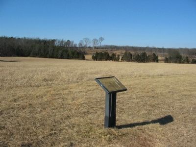
Location. 38° 48.782′ N, 77° 33.385′ W. Marker is near Groveton, Virginia, in Prince William County. Marker can be reached from Lee Highway (U.S. 29), on the right when traveling west. Located on a walking trail running east from driving tour stop 1, Battery Heights, in Manassas National Military Park. Touch for map. Marker is at or near this postal address: 12004 Lee Hwy, Manassas VA 20109, United States of America. Touch for directions.
Other nearby markers. At least 8 other markers are within walking distance of this marker. Broken by Artillery (about 400 feet away, measured in a direct line); Battery Heights (about 600 feet away); 76th New York Infantry (about 600 feet away); Manassas National Battelfield Park (about 600 feet away); 6th Wisconsin Infantry (approx. 0.2 miles away); a different marker also named Battery Heights (approx. 0.2 miles away); 21st Georgia Infantry (approx. ¼ mile away); 15th Alabama Infantry (approx. ¼ mile away). Touch for a list and map of all markers in Groveton.
Photographed By Craig Swain, February 8, 2009
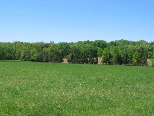
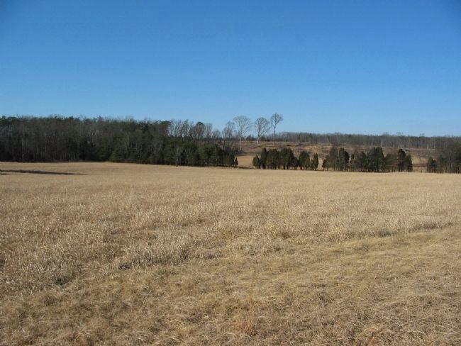
4. Campbell's Duel with Confederate Artillery
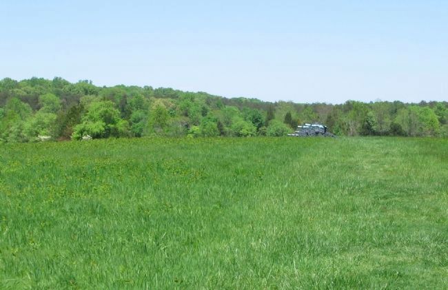
Campbell brought his battery to a knoll looking across the valley near Brawner Farm. Confederate artillery occupied the high ground on the far side of the valley, just left of center behind the far tree line. The area on the hill side in the distance was recently cleared to restore the wartime appearance.
Credits. This page was last revised on April 9, 2022. It was originally submitted on March 30, 2009, by Craig Swain of Leesburg, Virginia. This page has been viewed 1,122 times since then and 10 times this year. Photos: 1, 2, 3, 4, 5. submitted on March 30, 2009, by Craig Swain of Leesburg, Virginia.
