Near Cumberland in Allegany County, Maryland — The American Northeast (Mid-Atlantic)
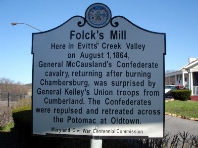
Folck's Mill
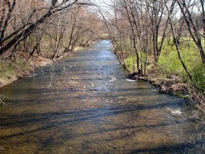
Here in Evitts Creek Valley on August 1, 1864, General McCausland's Confederate cavalry, returning after burning Chambersburg, was surprised by General Kelley's Union troops from Cumberland. The Confederates were repulsed and retreated across the Potomac at Oldtown.
Erected by Maryland Civil War Centennial Commission.
Topics. This historical marker is listed in this topic list: War, US Civil. A significant historical year for this entry is 1864.
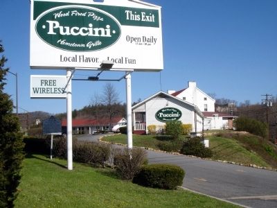
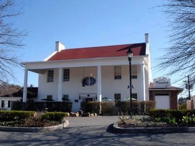
Location. 39° 40.385′ N, 78° 43.511′ W. Marker is near Cumberland, Maryland, in Allegany County. Marker can be reached from Ali Ghan Shrine Road (Maryland Route 144). The marker is located on the grounds of what is currently the Puccini Restaurant. Touch for map. Marker is at or near this postal address: 12901 Ali Ghan Rd NE, Cumberland MD 21502, United States of America. Touch for directions.
Other nearby markers. At least 8 other markers are within 2 miles of this marker, measured as the crow flies. A different marker also named Folck's Mill (about 700 feet away, measured in a direct line); a different marker also named Folck's Mill (approx. 0.2 miles away); a different marker also named Folck's Mill (approx. ¼ mile away); Ali Ghan Shriners Legion of Honor (approx. ¼ mile away); Veterans Memorial (approx. 1½ miles away); 30th Regiment Infantry U.S.C.T. (approx. 1.8 miles away); Cumberland (approx. 2.1 miles away); Cumberland Surrenders (approx. 2.1 miles away). Touch for a list and map of all markers in Cumberland.
Also see . . .
1. Folck's Mill. Wikipedia entry (Submitted on November 25, 2023, by Larry Gertner of New York, New York.)
2. Battle of Folck's Mill. Wikipedia entry (Submitted on November 25, 2023, by Larry Gertner of New York, New York.)
Credits. This page was last revised on November 25, 2023. It was originally submitted on April 12, 2009. This page has been viewed 1,938 times since then and 20 times this year. Photos: 1, 2, 3, 4, 5. submitted on April 12, 2009. 6. submitted on August 28, 2020, by Bradley Owen of Morgantown, West Virginia. • Craig Swain was the editor who published this page.
