Downtown in Boston in Suffolk County, Massachusetts — The American Northeast (New England)
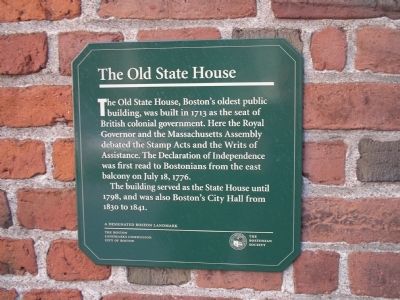
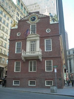
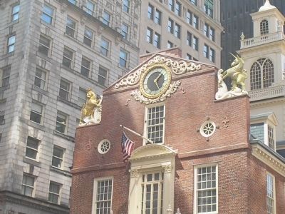
The Old State House
The building served as the State House until 1798, and was also Bostonís City Hall from 1830 to 1841.
Erected by The Boston Landmarks Commission.
Topics and series. This historical marker is listed in these topic lists: Colonial Era • Notable Buildings • War, US Revolutionary. In addition, it is included in the National Historic Landmarks series list. A significant historical month for this entry is July 1869.
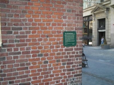
Location. 42° 21.527′ N, 71° 3.438′ W. Marker is in Boston, Massachusetts, in Suffolk County. It is in Downtown. Marker is at the intersection of State Street and Congress Street, on the right when traveling west on State Street. Touch for map. Marker is in this post office area: Boston MA 02108, United States of America. Touch for directions.
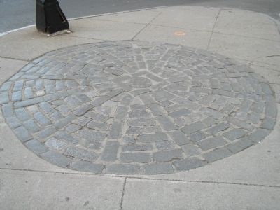
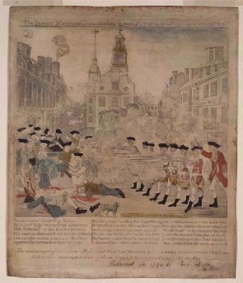
Other nearby markers. At least 8 other markers are within walking distance of this marker. A different marker also named The Old State House (here, next to this marker); The Freedom Trail (a few steps from this marker); The Boston Massacre (a few steps from this marker); Site of the First Meeting House in Boston Built A.D. 1632 (a few steps from this marker); The Norman B. Leventhal Walk to the Sea (within shouting distance of this marker); Captain Robert Keayne (within shouting distance of this marker); New England Courant (within shouting distance of this marker); Magoun Counting-House Site (within shouting distance of this marker). Touch for a list and map of all markers in Boston.
Also see . . .
1. Old State House. Details of the Freedom Trail from the City of Boston website. (Submitted on April 19, 2009, by Bill Coughlin of Woodland Park, New Jersey.)
2. Wikipedia entry for the Boston Massacre. (Submitted on April 19, 2009, by Richard E. Miller of Oxon Hill, Maryland.)
3. A Behind-the-Scenes Look At Paul Revere's Most Famous Engraving. (Submitted on April 19, 2009, by Richard E. Miller of Oxon Hill, Maryland.)
Additional keywords. Boston Massacre
Credits. This page was last revised on January 30, 2023. It was originally submitted on April 19, 2009, by Bill Coughlin of Woodland Park, New Jersey. This page has been viewed 1,676 times since then and 59 times this year. Last updated on April 19, 2009, by Richard E. Miller of Oxon Hill, Maryland. Photos: 1, 2, 3, 4, 5. submitted on April 19, 2009, by Bill Coughlin of Woodland Park, New Jersey. 6. submitted on April 19, 2009, by Richard E. Miller of Oxon Hill, Maryland. • Kevin W. was the editor who published this page.
