New Vernon in Morris County, New Jersey — The American Northeast (Mid-Atlantic)
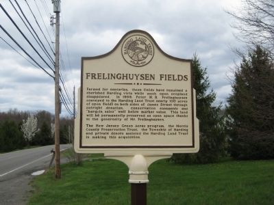
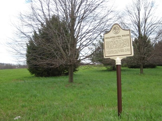
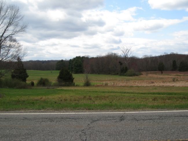
Frelinghuysen Fields
The New Jersey Green Acres program, The Morris County Preservation Trust, and Township of Harding and private donors assisted the Harding Land Trust in making this acquisition.
Erected by Harding Land Trust.
Topics. This historical marker is listed in this topic list: Agriculture. A significant historical year for this entry is 1999.
Location. 40° 45.528′ N, 74° 29.205′ W. Marker is in New Vernon, New Jersey, in Morris County. Marker is on James Street, on the right when traveling north. Touch for map. Marker is in this post office area: New Vernon NJ 07976, United States of America. Touch for directions.
Other nearby markers. At least 8 other markers are within 2 miles of this marker, measured as the crow flies. The Silver Brook Gateway (approx. 0.4 miles away); Washington’s Route from Princeton to Morristown (approx. 1.1 miles away); Harding Township 9-11 Memorial (approx. 1.1 miles away); New Vernon Historic District (approx. 1.1 miles away); The Tramp House (approx. 1.1 miles away); Mountain School (approx. 1.4 miles away); a different marker also named Washington’s Route from Princeton to Morristown (approx. 1.4 miles away); Stark’s Brigade (approx. 1.7 miles away). Touch for a list and map of all markers in New Vernon.
Credits. This page was last revised on June 16, 2016. It was originally submitted on April 24, 2009, by Alan Edelson of Union Twsp., New Jersey. This page has been viewed 1,138 times since then and 29 times this year. Photos: 1, 2, 3. submitted on April 24, 2009, by Alan Edelson of Union Twsp., New Jersey. • Bill Pfingsten was the editor who published this page.


