Middletown in Frederick County, Virginia — The American South (Mid-Atlantic)
Middletown
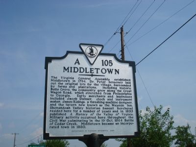
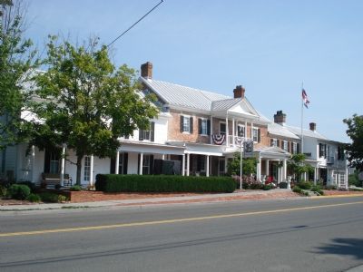
The Virginia General Assembly established Middletown in 1794. Dr. Peter Senseney laid out the original lots for the village. Surrounded by farms and plantations, including historic Belle Grove, the community grew along the Great Wagon Road, which stretched from Philadelphia to Georgia. Early merchants and businesses included Jacob Danner, clock and instrument maker, James Ridings, a threshing machine designer, and the tavern now known as the Wayside Inn. Shenandoah Valley historian Samuel Kercheval resided here for a number of years and in 1833 published A History of the Valley of Virginia. Military activity occurred here throughout the Civil War culminating in the 19 Oct. 1864 Battle of Cedar Creek. Middletown became an incorporated town in 1880.
Erected 2003 by Department of Historic Resources. (Marker Number A-105.)
Topics and series. This historical marker is listed in these topic lists: Political Subdivisions • War, US Civil. In addition, it is included in the Virginia Department of Historic Resources (DHR) series list. A significant historical year for this entry is 1794.
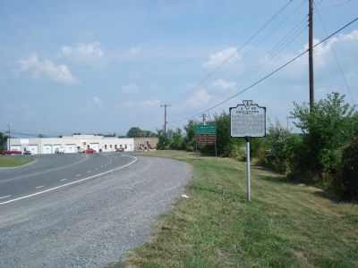
Location. 39° 1.982′ N, 78° 16.308′ W. Marker is in Middletown, Virginia, in Frederick County. Marker is on Reliance Road, ¼ mile west of Interstate 85, on the right when traveling west. Touch for map. Marker is in this post office area: Middletown VA 22645, United States of America. Touch for directions.
Other nearby markers. At least 8 other markers are within walking distance of this marker. The Shenandoah Valley / Battle of Cedar Creek, October 19, 1864 (approx. 0.2 miles away); Battle of Cedar Creek (approx. ¼ mile away); Union Counterattack 4:00 p.m. (approx. 0.3 miles away); Engagement Of Middletown (approx. 0.3 miles away); Colonel Charles Russell Lowell (approx. 0.3 miles away); The Fatal Halt (approx. 0.4 miles away); Old Stone Fort (approx. 0.4 miles away); Middletown Virginia (approx. half a mile away). Touch for a list and map of all markers in Middletown.
Also see . . .
1. Middletown, Virginia. Wikipedia entry (Submitted on June 22, 2022, by Larry Gertner of New York, New York.)
2. Wayside Inn. Inn website entry (Submitted on July 25, 2007, by Roger Dean Meyer of Yankton, South Dakota.)
Credits. This page was last revised on June 22, 2022. It was originally submitted on July 25, 2007, by Roger Dean Meyer of Yankton, South Dakota. This page has been viewed 1,718 times since then and 33 times this year. Photos: 1, 2, 3. submitted on July 25, 2007, by Roger Dean Meyer of Yankton, South Dakota. • J. J. Prats was the editor who published this page.


