Near Charleston in Charleston County, South Carolina — The American South (South Atlantic)
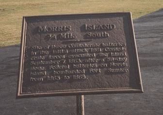
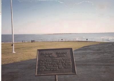
Morris Island
— 3/4 Mile South —
Erected by National Park Service.
Topics. This historical marker is listed in these topic lists: Forts and Castles • War, US Civil. A significant historical month for this entry is September 1950.
Location. This marker has been replaced by another marker nearby. 32° 45.134′ N, 79° 52.478′ W. Marker is near Charleston, South Carolina, in Charleston County. Marker is on Fort Sumter Island in Charleston Harbor. It is accessible only by boat, primarily via the National Park Service's concessionaire ferry, departing from its visitor education center at 340 Concord Street, Charleston, SC. Touch for map. Marker is in this post office area: Charleston SC 29412, United States of America. Touch for directions.
Other nearby markers. At least 8 other markers are within walking distance of this location. A different marker also named Morris Island (here, next to this marker); Flags of the Fort (a few steps from this marker); Fort Johnson (a few steps from this marker); Major Robert Anderson (a few steps from this marker); Charleston Besieged (a few steps from this marker); Fort Moultrie (a few steps from this marker); 8-inch (200 Pounder) Parrott (within shouting distance of this marker); Battery Huger (within shouting distance of this marker). Touch for a list and map of all markers in Charleston.
Related marker. Click here for another marker that is related to this marker. Burial site of the Immortal Six Hundred
Also see . . .
1. Morris Island. (Submitted on May 30, 2009, by Richard E. Miller of Oxon Hill, Maryland.)
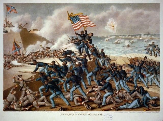
2. Second Battle of Fort Wagner. (Submitted on May 30, 2009, by Richard E. Miller of Oxon Hill, Maryland.)
3. Battery Wagner. The site of the battery, while reduced somewhat due to shore erosion, is the focus of a Civil War Preservation Trust effort. (Submitted on May 31, 2009, by Craig Swain of Leesburg, Virginia.)
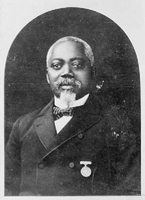
Additional keywords. Fort Wagner; Battery Wagner; 54th Massachusetts Volunteer Infantry; Glory; William H. Carney; Quincy Gillmore; Robert Gould Shaw; Immortal Six Hundred; USCT; U.S. Colored Troops.
Credits. This page was last revised on June 16, 2016. It was originally submitted on May 30, 2009, by Richard E. Miller of Oxon Hill, Maryland. This page has been viewed 5,529 times since then and 71 times this year. Last updated on May 31, 2009, by Mike Stroud of Bluffton, South Carolina. Photos: 1, 2, 3, 4, 5. submitted on May 30, 2009, by Richard E. Miller of Oxon Hill, Maryland. • Craig Swain was the editor who published this page.
