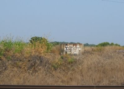
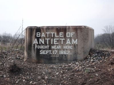
Near Sharpsburg in Washington County, Maryland — The American Northeast (Mid-Atlantic)
Antietam Station
Railroad to Reunion
— Antietam Campaign 1862 —
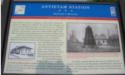
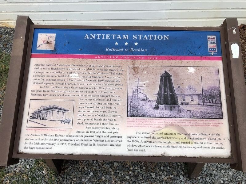
After the Battle of Antietam on September 17, 1862, soldiers’ families traveled by rail to Hagerstown or Frederick, and then by horse and buggy to the site to recover the bodies of loved ones or to search for survivors. Thus began a constant stream of battlefield visitors that still continues. A regular Decoration Day commemoration (a forerunner of Memorial Day) began in May 1868 with a parade through Sharpsburg and the decoration of soldiers’ graves.
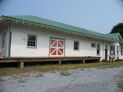
In 1883, the Shenandoah Valley Railway reached Sharpsburg, where the small frame Sharpsburg Station welcomed visitors to town. Every Memorial Day thousands of veterans and families passed through the station to attend parades and reunions. Soon, slate curbing and wide walkways flanked the road from the station to the cemetery. Norway maples, some of which still survive, were planted beside the road to shade veterans and their families.
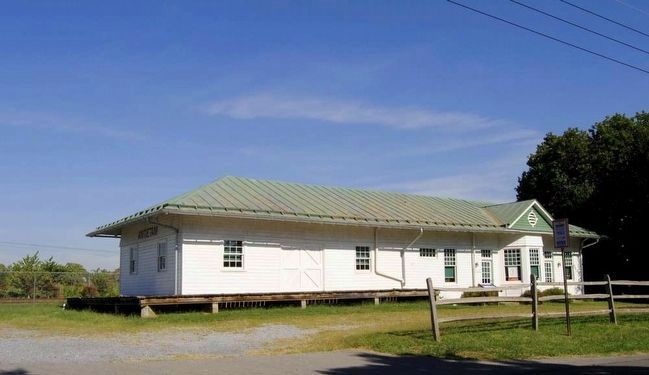
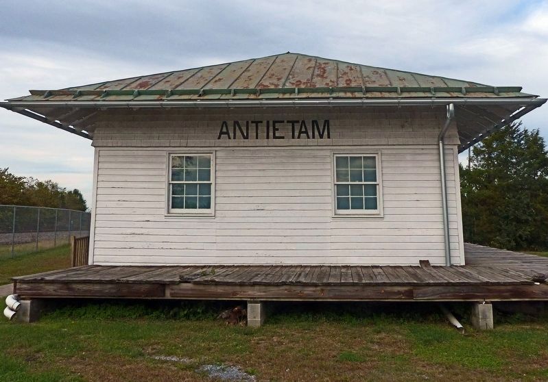
Fire destroyed Sharpsburg Station in 1910, and the next year the Norfolk & Western Railway completed the present freight and passenger station in time for the 50th anniversary of the battle. Veterans also returned for the 75th anniversary in 1937; President Franklin D. Roosevelt attended the huge reenactment.
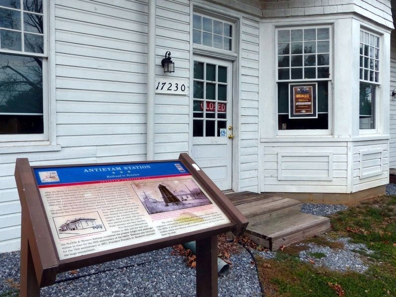
The station, renamed Antietam after two trains collided when engineers confused the words Sharpsburg and Shepherdstown, closed late in the 1950s. A private citizen bought it and turned it around so that the bay window, which once allowed stationmasters to look up and down the tracks, faced the road.
Erected by Maryland Civil War Trails.
Topics and series. This historical marker is listed in these topic lists: Railroads & Streetcars • War, US Civil. In addition, it is included in the Former U.S. Presidents: #32 Franklin D. Roosevelt, and the Maryland Civil War Trails series lists. A significant historical month for this entry is May 1868.
Location. 39° 27.09′ N, 77° 46.138′ W. Marker is near Sharpsburg, Maryland, in Washington County. Marker is on Shepherdstown Pike (Maryland Route 34), on the left when traveling north. Touch for map. Marker is in this post office area: Sharpsburg MD 21782, United States of America. Touch for directions.
Other nearby markers. At least 8 other markers are within 2 miles of this marker, measured as the crow flies. The Civil War Veterans Walkway To Glory At Antietam (about 500 feet away, measured in a direct line); Grove Farm (approx. 0.2 miles away); 1862 Antietam Campaign (approx. 0.2 miles away); Headquarters Site Gen. R.E. Lee (approx. half a mile away); Jacob Highbarger House (approx. one mile away); First Methodist Cemetery (approx. one mile away); William Chapline House
Photographed By Devry Becker Jones (CC0), October 11, 2020
2. Antietam Station Marker
Unfortunately, the marker appears to have suffered weather damage.
More about this marker. The marker features a drawing of the station by Annie Lemarie and a picture of the station as it looked while in operation. The caption for the latter is, The Federal government’s Antietam Battlefield Commission erected this monument in 1898. The monument is composed of eight original Parrott cannon (none of which were at the battle), set breach down on a granite block, with a pyramid of cannon balls perched atop the muzzles. The monument was disassembled in the mid-1930s, but the granite foundation remains today.
Additional keywords. Antietam Campaign 1862, N&W Railroad
Credits. This page was last revised on January 22, 2024. It was originally submitted on August 3, 2007, by Craig Swain of Leesburg, Virginia. This page has been viewed 2,858 times since then and 37 times this year. Photos: 1. submitted on August 3, 2007, by Craig Swain of Leesburg, Virginia. 2. submitted on October 12, 2020, by Devry Becker Jones of Washington, District of Columbia. 3. submitted on August 3, 2007, by Craig Swain of Leesburg, Virginia. 4. submitted on October 24, 2019, by Allen C. Browne of Silver Spring, Maryland. 5. submitted on October 27, 2015, by Brian Scott of Anderson, South Carolina. 6. submitted on August 3, 2007, by Craig Swain of Leesburg, Virginia. 7. submitted on April 14, 2011, by Bill Coughlin of Woodland Park, New Jersey. 8. submitted on October 26, 2019, by Allen C. Browne of Silver Spring, Maryland. • J. J. Prats was the editor who published this page.
