Sterling in Loudoun County, Virginia — The American South (Mid-Atlantic)
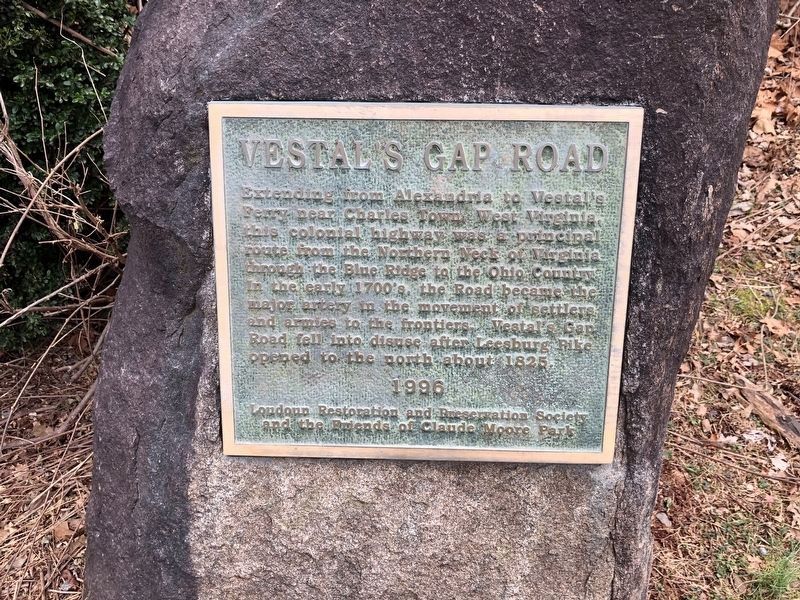
Vestal's Gap Road
Erected 1996 by Loudoun Restoration and Preservation Society and the Friends of Claude Moore Park.
Topics. This historical marker is listed in these topic lists: Roads & Vehicles • Settlements & Settlers. A significant historical year for this entry is 1825.
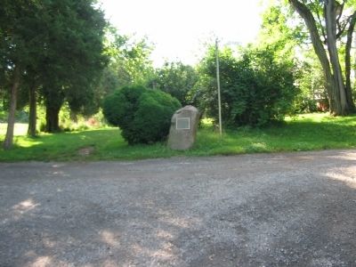
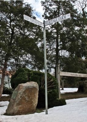
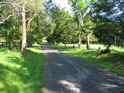
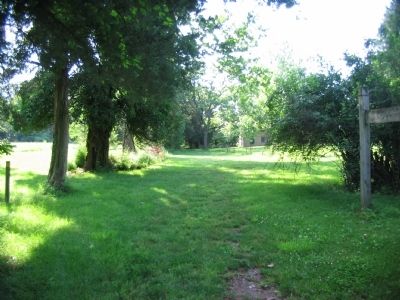
Location. 39° 1.078′ N, 77° 24.238′ W. Marker is in Sterling, Virginia, in Loudoun County. Marker is at the intersection of Old Vestals Gap Road and Heritage Farm Lane, on the right when traveling east on Old Vestals Gap Road. The marker is located on a walking trail in the Claude Moore Park, of the Loudoun County Parks System. From VA 7, go South on Cascades Parkway, CR 637. Turn left onto Old Vestal's Gap Road, the park entrance. The trail follows the trace of Old Vestal's Gap Road. Touch for map. Marker is in this post office area: Sterling VA 20164, United States of America. Touch for directions.
Other nearby markers. At least 8 other markers are within walking distance of this marker. Lanesville Historic Area (a few steps from this marker); Lanesville Architecture (a few steps from this marker); Lanesville House and Vestal's Gap Road (a few steps from this marker); The Braddock Campaign (a few steps from this marker); Lanesville Outbuildings (within shouting distance of this marker); Lanesville Families (within shouting distance of this marker); Vestal's Gap Road in the 1800s (about 300 feet away, measured in a direct line); Guilford Signal Station (about 400 feet away). Touch for a list and map of all markers in Sterling.
More about this marker. This marker is duplicated on the other end of the Vestal's Gap Road trace.
Related markers. Click here for a list of markers that are related to this marker. Markers related to Vestal's Gap Road.
Also see . . .
1. Claude Moore Park. The Lanesville Heritage Area. The park site discusses the history of the road. (Submitted on June 17, 2009, by Craig Swain of Leesburg, Virginia.)
2. Vestal's Gap Road: A Historical Perspective. (Submitted on June 17, 2009, by Craig Swain of Leesburg, Virginia.)
Credits. This page was last revised on December 30, 2020. It was originally submitted on June 17, 2009, by Craig Swain of Leesburg, Virginia. This page has been viewed 1,418 times since then and 47 times this year. Photos: 1. submitted on December 30, 2020, by Devry Becker Jones of Washington, District of Columbia. 2. submitted on June 17, 2009, by Craig Swain of Leesburg, Virginia. 3. submitted on July 28, 2012, by Allen C. Browne of Silver Spring, Maryland. 4, 5. submitted on June 17, 2009, by Craig Swain of Leesburg, Virginia.
