Shepherdstown in Jefferson County, West Virginia — The American South (Appalachia)
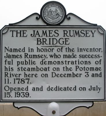
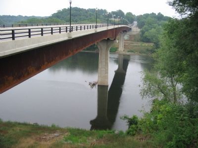
The James Rumsey Bridge
Named in honor of the inventor, James Rumsey, who made successful demonstrations of his steamboat on the Potomac River here on December 3 and 11, 1787.
Opened and dedicated on July 15, 1939.
Erected 1939.
Topics and series. This historical marker is listed in these topic lists: Bridges & Viaducts • Waterways & Vessels. In addition, it is included in the West Virginia Archives and History series list. A significant historical month for this entry is July 1862.
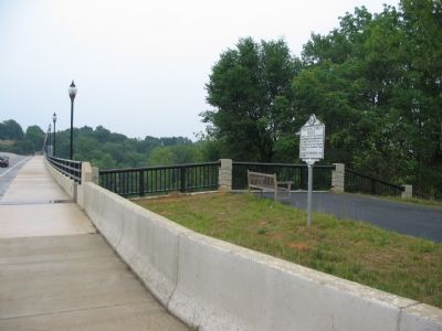
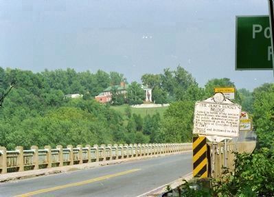
Location. 39° 26.152′ N, 77° 48.196′ W. Marker is in Shepherdstown, West Virginia, in Jefferson County. Marker is on North Duke Street / Shepherdstown Pike (West Virginia Route 480), on the right when traveling north. The Shepherdstown Pike is numbered Route 34 on the Maryland side of the bridge. The marker is located on the southern end of the Bridge, at a pull off. Touch for map. Marker is in this post office area: Shepherdstown WV 25443, United States of America. Touch for directions.
Other nearby markers. At least 8 other markers are within walking distance of this marker. Shepherdstown (here, next to this marker); River Crossing (a few steps from this marker); a different marker also named Shepherdstown (within shouting distance of this marker); Jefferson County / Maryland (about 600 feet away, measured in a direct line); Waterfront Commerce and the Mecklenburg Warehouse (about 700 feet away); a different marker also named Shepherdstown (approx. 0.2 miles away in Maryland); Blackford's Ford (approx. 0.2 miles away in Maryland); A View into the Past (approx. 0.2 miles away in Maryland). Touch for a list and map of all markers in Shepherdstown.
Credits. This page was last revised on June 8, 2020. It was originally submitted on August 8, 2007, by Craig Swain of Leesburg, Virginia. This page has been viewed 1,870 times since then and 38 times this year. Photos: 1, 2, 3. submitted on August 8, 2007, by Craig Swain of Leesburg, Virginia. 4. submitted on July 13, 2011, by David Graff of Halifax, Nova Scotia. • J. J. Prats was the editor who published this page.


