Acworth in Cobb County, Georgia — The American South (South Atlantic)
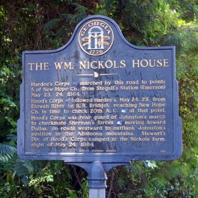
The Wm. Nickols House
Hood’s Corps [CS] followed Hardee’s, May 24, 25, from Etowah River (at R. R. Bridge), reaching New Hope Ch. in time to check 20th A. C. [US] at that point. Hood’s Corps was rear guard of Johnston’s march to checkmate Sherman’s forces [US] moving toward Dallas, on roads westward to outflank Johnston’s position in the Allatoona mountains. Stewart’s Div. of Hood’s Corps camped at the Nickols farm, night of May 24, 1864.
Erected 1985 by Georgia Department of Natural Resources. (Marker Number 033-34.)
Topics and series. This historical marker is listed in this topic list: War, US Civil. In addition, it is included in the Georgia Historical Society series list. A significant historical date for this entry is May 23, 1940.
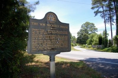
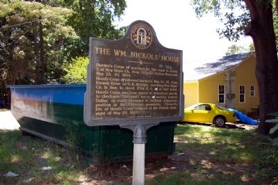
Location. Marker has been reported missing. It was located near 34° 3.195′ N, 84° 43.417′ W. Marker was in Acworth, Georgia, in Cobb County. Marker was at the intersection of Dallas-Acworth Highway NW (Georgia Route 92) and North Shores Drive NW, on the right when traveling south on Dallas-Acworth Highway NW. Touch for map. Marker was in this post office area: Acworth GA 30101, United States of America. Touch for directions.
Other nearby markers. At least 8 other markers are within 3 miles of this location, measured as the crow flies. Hardee’s, Hood’s & French’s H’dq’rs. (approx. 1.7 miles away); Site ~ Mason’s Bridge (approx. 2.4 miles away); Peters-Davenport House (approx. 2.4 miles away); Railroad Block-house (approx. 2.4 miles away); The Old Acworth Hotel (approx. 2.8 miles away); The Railroad at Acworth, Georgia (approx. 2.8 miles away); Acworth (approx. 2.8 miles away); A Road More Traveled/The Dixie Highway in Acworth (approx. 2.9 miles away). Touch for a list and map of all markers in Acworth.
Credits. This page was last revised on September 22, 2022. It was originally submitted on July 5, 2009, by David Seibert of Sandy Springs, Georgia. This page has been viewed 1,157 times since then and 13 times this year. Last updated on September 17, 2022, by Darren Jefferson Clay of Duluth, Georgia. Photos: 1, 2, 3. submitted on July 5, 2009, by David Seibert of Sandy Springs, Georgia. • Bernard Fisher was the editor who published this page.


