Gauley Bridge in Fayette County, West Virginia — The American South (Appalachia)
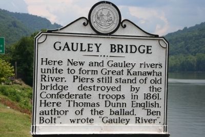
Gauley Bridge
Topics and series. This historical marker is listed in these topic lists: Arts, Letters, Music • Bridges & Viaducts • War, US Civil. In addition, it is included in the West Virginia Archives and History series list. A significant historical year for this entry is 1861.
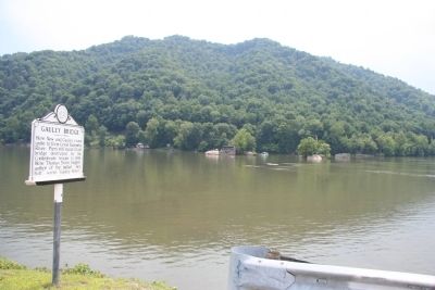
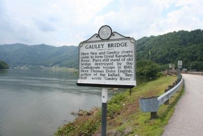
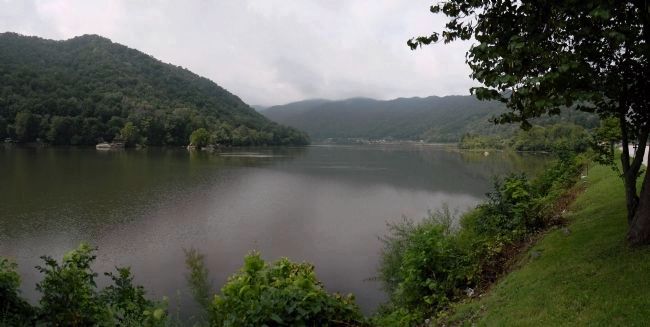
Location. 38° 9.731′ N, 81° 11.673′ W. Marker is in Gauley Bridge, West Virginia, in Fayette County. Marker is on U.S. 60, 0.1 miles east of West Virginia Route 16, on the right when traveling east. This historical marker is located along the north side of the New River, just east of where the Gauley River flows into the New River to form the Great Kanawha River. Touch for map. Marker is in this post office area: Gauley Bridge WV 25085, United States of America. Touch for directions.
Other nearby markers. At least 8 other markers are within 5 miles of this marker, measured as the crow flies. Less We Forget (within shouting distance of this marker); Veterans Memorial (within shouting distance of this marker); a different marker also named Gauley Bridge (within shouting distance of this marker); Gauley Bridge War Memorial (approx. 0.2 miles away); Camp Reynolds (approx. 1.4 miles away); Christopher Q. Tompkins / Gauley Mount (approx. 2.1 miles away); Hawk's Nest Tunnel Disaster (approx. 4˝ miles away); Hawk’s Nest (approx. 4˝ miles away). Touch for a list and map of all markers in Gauley Bridge.
Also see . . . e-WV | Gauley Bridge. (Submitted on September 8, 2014, by PaulwC3 of Northern, Virginia.)
Credits. This page was last revised on March 8, 2024. It was originally submitted on July 14, 2009, by Dale K. Benington of Toledo, Ohio. This page has been viewed 2,106 times since then and 54 times this year. Photos: 1, 2, 3. submitted on July 14, 2009, by Dale K. Benington of Toledo, Ohio. 4. submitted on September 8, 2014, by PaulwC3 of Northern, Virginia. • Craig Swain was the editor who published this page.


