Cayce in Lexington County, South Carolina — The American South (South Atlantic)
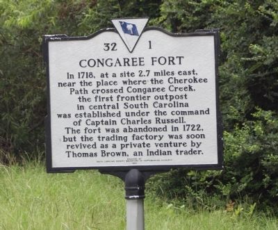
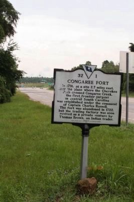
Congaree Fort
Erected 1958 by South Carolina Society Daughters of the American Colonists. (Marker Number 32-1.)
Topics and series. This historical marker is listed in these topic lists: Colonial Era • Forts and Castles • Settlements & Settlers. In addition, it is included in the Daughters of the American Colonists series list. A significant historical year for this entry is 1718.
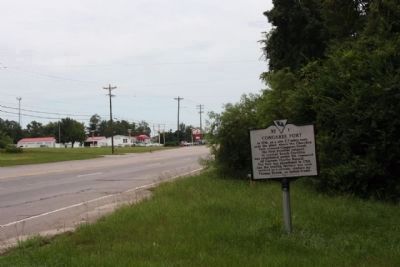
Location. 33° 56.226′ N, 81° 4.632′ W. Marker is in Cayce, South Carolina, in Lexington County. Marker is on Charleston Highway (U.S. 176/321) near Between Dixiana Road and Old Dunbar Road, on the right when traveling north. Located north of I-26 Exit 116, near Congaree Creek. Touch for map. Marker is in this post office area: Cayce SC 29033, United States of America. Touch for directions.
Other nearby markers. At least 8 other markers are within 3 miles of this marker, measured as the crow flies. Camp Moore (approx. 2.3 miles away); Emily Geiger (approx. 2.3 miles away); The Post at the Congarees (approx. 2.3 miles away); Congaree Creek Earthworks (approx. 2.4 miles away); Springdale (approx. 2.4 miles away); Battle of Congaree Creek (approx. 2.8 miles away); 345th Bombardment Group (approx. 3 miles away); Bombardment Groups (approx. 3 miles away). Touch for a list and map of all markers in Cayce.
Credits. This page was last revised on June 16, 2016. It was originally submitted on August 16, 2009, by Mike Stroud of Bluffton, South Carolina. This page has been viewed 2,461 times since then and 147 times this year. Photos: 1, 2, 3. submitted on August 16, 2009, by Mike Stroud of Bluffton, South Carolina. • Craig Swain was the editor who published this page.


