Hanover in York County, Pennsylvania — The American Northeast (Mid-Atlantic)
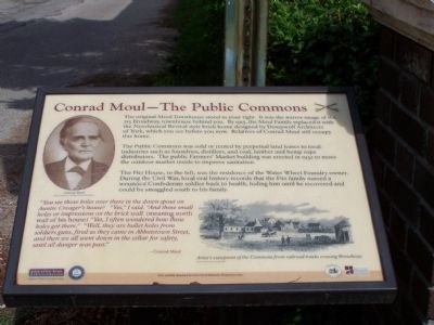
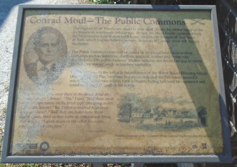
Conrad Moul - The Public Commons
The Public Commons was sold or rented by perpetual land leases to local industries such as foundries, distillers, and coal, lumber and hemp rope distributors. The public Farmers' Market building was erected in 1932 to move the outdoor market inside to improve sanitation.
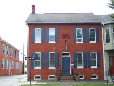
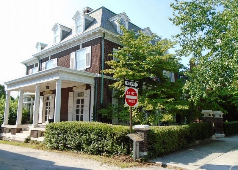
The Fitz House, to the left, was the residence of the Water Wheel Foundry owner. During the Civil War, local oral history records that the Fitz family nursed a wounded Confederate soldier back to health, hiding him until he recovered and could be smuggled south to his family.
"You see those holes over there in the down spout on Auntie Creager's house? "Yes," I said. "And those small holes or impressions on the brick wall. (meaning north wall of his house) "Yes, I often wondered how those holes got there." "Well, they are bullet holes from soldiers guns, fired as they came in Abbotstown Street and then we all went down in the cellar for safety, until all danger was past." - Conrad Moul.
Topics and series. This historical marker is listed in this topic list: War, US Civil. In addition, it is included in the Pennsylvania, Battle of Hanover Walking Tour series list. A significant historical year for this entry is 1915.
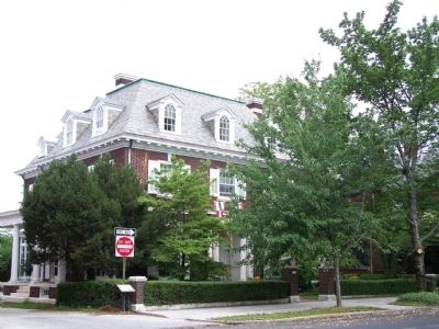
Location. This marker has been replaced by another marker nearby. It was located near 39° 48.183′ N, 76° 58.883′ W. Marker was in Hanover, Pennsylvania, in York County. Marker was on Broadway (Pennsylvania Route 194) 0 miles north of Allewalt Avenue, on the left when traveling north. It is five houses north of Allewalt Ave. Touch for map. Marker was at or near this postal address: 216 Broadway, Hanover PA 17331, United States of America. Touch for directions.
Other nearby markers. At least 8 other markers are within walking distance of this location. Titans of Hanover Industry (a few steps from this marker); Veterans Memorial (within shouting distance of this marker); Former United States Post Office (about 400 feet away, measured in a direct line); The Turning Point (about 500 feet away); The Confederates Take Stock (about 500 feet away); Abbottstown Street/Broadway (about 600 feet away); Warfare Engulfs Downtown (about 800 feet away); The Aftermath & Stench of Death (about 800 feet away). Touch for a list and map of all markers in Hanover.
More about this marker. On the left is a portrait of Conrad Moul. On the lower right is a sketch Artist viewpoint of the Commons from railroad tracks crossing Broadway.
Credits. This page was last revised on May 10, 2022. It was originally submitted on June 29, 2008, by Bill Pfingsten of Bel Air, Maryland. This page has been viewed 1,941 times since then and 29 times this year. Last updated on September 13, 2009, by Henry T. McLin of Hanover, Pennsylvania. Photos: 1, 2, 3. submitted on June 29, 2008, by Bill Pfingsten of Bel Air, Maryland. 4, 5. submitted on July 15, 2018, by William Fischer, Jr. of Scranton, Pennsylvania. • Kevin W. was the editor who published this page.
