Highlands in Monmouth County, New Jersey — The American Northeast (Mid-Atlantic)
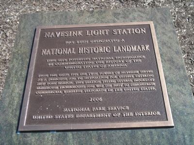
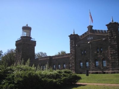
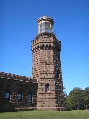
Navesink Light Station
has been designated a National Historic Landmark.
This site possesses national significance in commemorating the history of the United States of America.
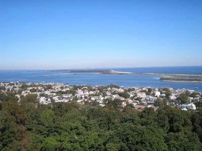
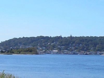
From 1828 until 1949 the Twin Towers of Navesink served as a principal aid to navigation for vessels entering New York Harbor. This station tested several important lighthouse technologies and was the first to demonstrate commercial wireless telegraph in the United States.
Erected 2006 by National Park Service, United States Department of the Interior.
Topics and series. This historical marker is listed in these topic lists: Communications • Landmarks • Waterways & Vessels. In addition, it is included in the Lighthouses, and the National Historic Landmarks series lists. A significant historical year for this entry is 1828.
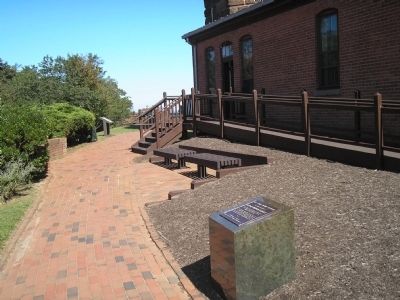
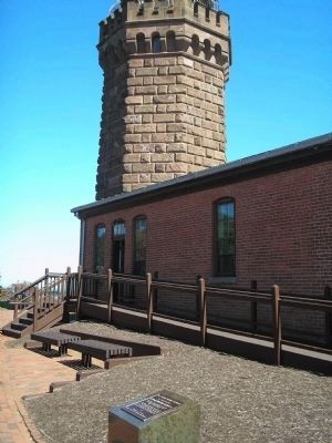
Location. 40° 23.802′ N, 73° 59.153′ W. Marker is in Highlands, New Jersey, in Monmouth County. Marker is on Lighthouse Road. Marker is located at the Twin Lights Historic Site. Touch for map. Marker is in this post office area: Highlands NJ 07732, United States of America. Touch for directions.
Other nearby markers. At least 8 other markers are within walking distance of this marker. A different marker also named The Navesink Light Station (here, next to this marker); Spermaceti Cove Life Saving Station (a few steps from this marker); Spermaceti Cove Lifesaving Station (a few steps from this marker); Telegraph and Radar at Twin Lights (within shouting distance of this marker); Marconi at Twin Lights (within shouting distance of this marker); The Old North Tower (within shouting distance of this marker); From the Navesink Highlands (within shouting distance of this marker); Powerhouse (within shouting distance of this marker). Touch for a list and map of all markers in Highlands.
Also see . . .
1. Navesink Twin Lights. Wikipedia entry (Submitted on March 10, 2021, by Larry Gertner of New York, New York.)
2. Navesink Lighthouse. Lighthouse Friends entry (Submitted on March 10, 2021, by Larry Gertner of New York, New York.)
Photographed By Larry Gertner, June 28, 2021
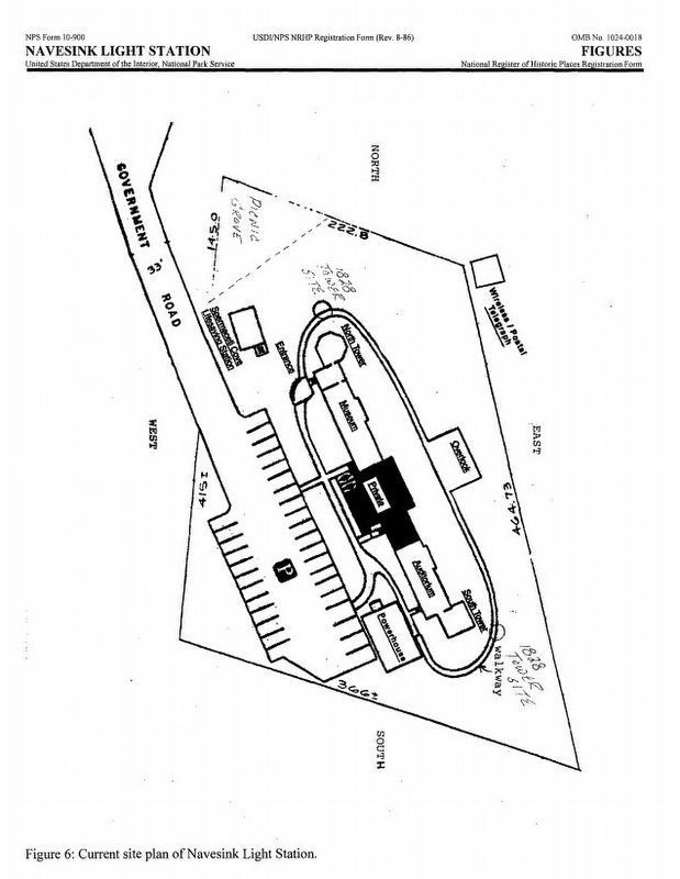
5. Navesink Light Station aka Twin Lights Historic Site
National Historic Landmark Nomination
(Submitted on March 10, 2021, by Larry Gertner of New York, New York.)
Click for more information.
(Submitted on March 10, 2021, by Larry Gertner of New York, New York.)
Click for more information.
Credits. This page was last revised on October 19, 2022. It was originally submitted on September 20, 2009, by Bill Coughlin of Woodland Park, New Jersey. This page has been viewed 885 times since then and 19 times this year. Photos: 1, 2, 3, 4. submitted on September 20, 2009, by Bill Coughlin of Woodland Park, New Jersey. 5. submitted on June 28, 2021, by Larry Gertner of New York, New York. 6, 7, 8, 9. submitted on September 20, 2009, by Bill Coughlin of Woodland Park, New Jersey.
