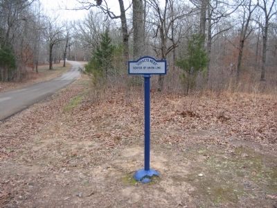
Near Shiloh in Hardin County, Tennessee — The American South (East South Central)
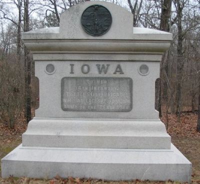
14th Iowa Infantry Regiment
Tuttle's Brigade - W.H.L. Wallace's Division
— Army of the Tennessee —
to her
14th Infantry,
Tuttle's (1st) Brigade,
W.H.L. Wallace's (2d) Division,
Army of the Tennessee.
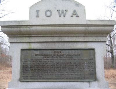
(Back):
14th Regiment Infantry Volunteers
Commanded by Col. W.T. Shaw
In attempting to follow the rest of the brigade which was being withdrawn it became hotly engaged about 200 yards east of this position. Repulsing this attack it continued to retire towards the Hamburg Road, fighting heavily. Reaching the camp of the 32d Illinois Infantry it found itself entirely surrounded by the junction of the Confederate right and left wings. It was captured about 6 p.m.
Present for duty, including musicians, teamsters, etc. 442.
Its loss was,killed 8 men; wounded 2 officers and 37 men; captured 15 officers and 211 men; total 273.
Of the wounded, 5 died of their wounds; of the captured, 15 died in prison.
Erected by State of Iowa.
Topics. This historical marker is listed in this topic list: War, US Civil. A significant historical date for this entry is April 6, 1862.
Location. 35° 8.122′ N, 88° 20.267′ W. Marker is near Shiloh, Tennessee, in Hardin County . Marker is at the intersection of Eastern Corinth Road and Hornets Nest Loop, on the right when traveling north on Eastern Corinth Road. Located near the intersection of the "Sunken Road" and the Eastern Corinth Road in Shiloh National Military Park. Touch for map. Marker is in this post office area: Shiloh TN 38376, United States of America. Touch for directions.
Other nearby markers. At least 8 other markers are within walking distance of this marker. Munch's Battery (a few steps from this marker); Impenetrable Thicket (a few steps from this marker); Arkansas Memorial (within shouting distance of this marker); 21st Missouri Infantry (within shouting distance of this marker); "Hornets Nest" (within shouting distance of this marker); First Minnesota Light Artillery (within shouting distance of this marker); 9th Arkansas Battalion - 8th Arkansas - 27th Tennessee - 44th Tennessee (within shouting distance of this marker); Surrender of the Hornets' Nest (within shouting distance of this marker). Touch for a list and map of all markers in Shiloh.
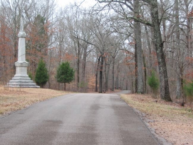
Photographed By Craig Swain, March 16, 2009
6. Confederate Assaults
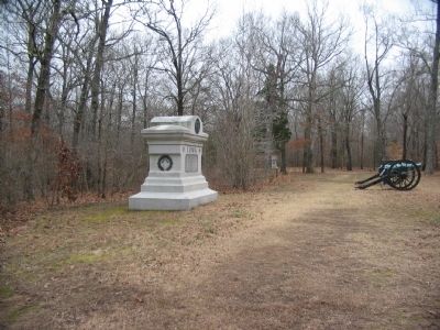
Looking south down the East Corinth Road. To the left of the road is the Arkansas Memorial. In the distance along the road are four tablets, seen from behind, describing Confederate units that attacked in this vicinity during the afternoon fighting of April 6, 1862. At the time of the battle, the area between the 14th Iowa Monument and the Arkansas Memorial was the eastern edge of Duncan Field.
Credits. This page was last revised on June 16, 2016. It was originally submitted on September 27, 2009, by Craig Swain of Leesburg, Virginia. This page has been viewed 1,201 times since then and 20 times this year. Photos: 1, 2, 3, 4, 5, 6. submitted on September 27, 2009, by Craig Swain of Leesburg, Virginia.
