Waldo in Marion County, Ohio — The American Midwest (Great Lakes)
Harrison Military Road
War of 1812
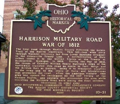
Side A: The first road through Marion County followed the Scioto Trail of the Native Americans. This 120-foot wide strip through Wyandot territory led from Lower Sandusky (Fremont) to the Greenville Treaty Line. A confederation of Ohio tribes ceded it to the United States at the Treaty of Brownsville, Michigan, in 1808. During the War of 1812, the troops of General William Henry Harrison's Army of the Northwest traveled this road en route to Fort Meigs and the British fort at Detroit, using it to transport supplies to the army and to the chain of forts and blockhouses that protected the road. After the American victory, this area was opened for settlement by the 1817 Treaty of the Maumee Rapids, and soldiers who discovered the area while traveling the Military Road were among the first settlers.
(Continued on other side)
Side B:
(Continued from other side)
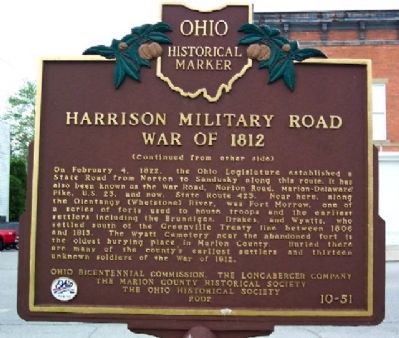
On February 4, 1822, the Ohio Legislature established a State Road from Norton to Sandusky along this route. It has also been known as the War Road, Norton Road, Marion-Delaware Pike, U.S. 23, and now, State Route 423. Near here, along the Olentangy (Whetstone) River, was Fort Morrow, one of a series of forts used to house troops and the earliest settlers including the Brundiges, Drakes, and Wyatts, who settled south of the Greenville Treaty line between 1806 and 1813. The Wyatt Cemetery near the abandoned fort is the oldest burying place in Marion County. Buried there are many of the county's earliest settlers and thirteen unknown soldiers of the War of 1812.
Erected 2002 by Ohio Bicentennial Commission, The Longaberger Company, The Marion County Historical Society, and The Ohio Historical Society. (Marker Number 10-51.)
Topics and series. This historical marker is listed in these topic lists: Forts and Castles • Native Americans • Settlements & Settlers • War of 1812. In addition, it is included in the Former U.S. Presidents: #09 William Henry Harrison, and the Ohio Historical Society / The Ohio History Connection series lists. A significant historical month for this entry is February 1819.
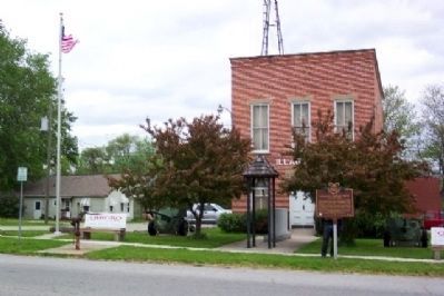
Location. 40° 27.554′ N, 83° 4.628′ W. Marker is in Waldo, Ohio, in Marion County. Marker is at the intersection of Marion Street (Ohio Route 423) and Main Street, on the right when traveling north on Marion Street. Marker is in front of the Waldo Village and Township Building. Touch for map. Marker is at or near this postal address: 102 N Marion Street, Waldo OH 43356, United States of America. Touch for directions.
Other nearby markers. At least 8 other markers are within 7 miles of this marker, measured as the crow flies. Waldo Township Veterans Memorial (a few steps from this marker); Marion History - 1918 (within shouting distance of this marker); The Stagecoach Inn in Waldo (within shouting distance of this marker); Fort Morrow (approx. 1.2 miles away); The Underground Railroad / The Marion County Trial of Bill Anderson (approx. 4.8 miles away); Prospect War Memorial (approx. 5.9 miles away); Prospect State Route 47 Bridge (approx. 6 miles away); Radnor Baptist Church (approx. 6.4 miles away). Touch for a list and map of all markers in Waldo.
Related markers. Click here for a list of markers that are related to this marker. To better understand the relationship, study each marker in the order shown.
Credits. This page was last revised on June 16, 2016. It was originally submitted on October 2, 2009, by William Fischer, Jr. of Scranton, Pennsylvania. This page has been viewed 1,802 times since then and 55 times this year. Photos: 1, 2, 3. submitted on October 2, 2009, by William Fischer, Jr. of Scranton, Pennsylvania.


