Near Smiths Ferry in Valley County, Idaho — The American West (Mountains)
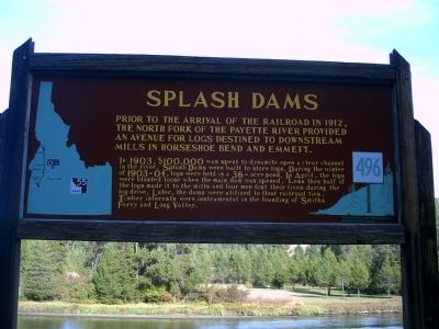
Splash Dams
Prior to the arrival of the railroad in 1912, the North Fork of the Payette River provided an avenue for logs destined to downstream mills in Horseshoe Bend and Emmett.
In 1903, $100,000 was spent to dynamite open a clear channel in the river. Splash Dams were built to store logs. During the winter of 1903-04, logs were held in a 36-acre pond. In April, the logs were blasted loose when the main dam was opened. Less then half of the logs made it to the mills and four men lost their lives during the log drive. Later, the dams were utilized to float railroad ties. Timber interests were instrumental in the founding of Smiths Ferry and Long Valley.
Erected by Idaho Historical Society. (Marker Number 496.)
Topics and series. This historical marker is listed in these topic lists: Horticulture & Forestry • Industry & Commerce • Natural Resources • Waterways & Vessels. In addition, it is included in the Idaho State Historical Society series list. A significant historical year for this entry is 1912.
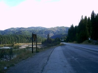
Location. 44° 16.876′ N, 116° 4.749′ W. Marker is near Smiths Ferry, Idaho, in Valley County. Marker is on State Highway 55 at milepost 95,, 3.3 miles south of Smiths Ferry Drive, on the left when traveling south. Touch for map. Marker is in this post office area: Cascade ID 83611, United States of America. Touch for directions.
Credits. This page was last revised on August 25, 2020. It was originally submitted on October 12, 2009, by Rebecca Maxwell of Boise, Idaho. This page has been viewed 2,078 times since then and 113 times this year. Photos: 1, 2. submitted on October 12, 2009, by Rebecca Maxwell of Boise, Idaho. • Craig Swain was the editor who published this page.

