Harpers Ferry in Jefferson County, West Virginia — The American South (Appalachia)
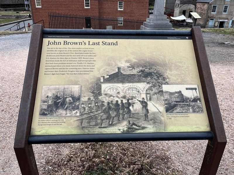
John Brown's Last Stand
Harpers Ferry National Historical Park
— National Park Service, U.S. Department of the Interior —
Erected by National Park Service, U.S. Department of the Interior.
Topics. This historical marker is listed in this topic list: War, US Civil. A significant historical month for this entry is October 1859.
Location. 39° 19.411′ N, 77° 43.786′ W. Marker is in Harpers Ferry, West Virginia, in Jefferson County. Marker can be reached from Potomac Street, on the right when traveling west. Touch for map. Marker is in this post office area: Harpers Ferry WV 25425, United States of America. Touch for directions.
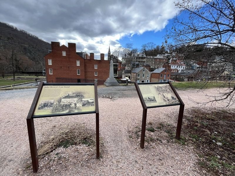
Other nearby markers. At least 8 other markers are within walking distance of this marker. Short-lived Sanctuary (here, next to this marker); John Brown Monument (a few steps from this marker); Armory Grounds (a few steps from this marker); Six Acres That Changed the World (within shouting distance of this marker); "I just had to speak out" (within shouting distance of this marker); Home of Joseph Perkins (within shouting distance of this marker); Heyward Shepherd (within shouting distance of this marker); Harpers Ferry History (within shouting distance of this marker). Touch for a list and map of all markers in Harpers Ferry.
More about this marker. The main illustration on the marker depicts the Marines storming the fire engine house, with an inset to the left showing the final confrontation with Brown. Inside the fire engine house, Brown and his raiders exchange fire with U.S. Marines who stormed the building to end the raid. A photo on the right points out the original location of the engine house. John Brown's Fort was moved four times, arriving at its current location in 1968.
Credits. This page was last revised on December 29, 2023. It was originally submitted on October 17, 2009, by Craig Swain of Leesburg, Virginia. This page has been viewed 1,364 times since then and 27 times this year. Photos: 1, 2. submitted on December 28, 2023, by Adam Margolis of Mission Viejo, California.

