Big Basin in Santa Cruz County, California — The American West (Pacific Coastal)
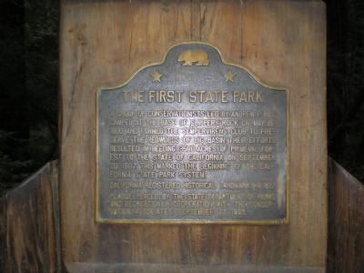
The First State Park
Erected 1968 by California State Department of Parks & Recreation, The Conservation Associates. (Marker Number 827.)
Topics and series. This historical marker is listed in these topic lists: Environment • Natural Resources. In addition, it is included in the California Historical Landmarks series list. A significant historical month for this entry is May 1885.
Location. 37° 10.932′ N, 122° 12.576′ W. Marker is in Big Basin, California, in Santa Cruz County. Marker can be reached from Lodge Road near Sequoia Trail Crossing. Touch for map. Marker is in this post office area: Boulder Creek CA 95006, United States of America. Touch for directions.
Other nearby markers. At least 8 other markers are within 7 miles of this marker, measured as the crow flies. Iverson Cabin Site (approx. 4.4 miles away); Brown Family Residence (approx. 5.1 miles away); Basham Boarding House (approx. 6.3 miles away); The Swamp House (approx. 6.3 miles away); I.O.O.F. Hall (approx. 6.3 miles away); Mountain Echo Newspaper Office (approx. 6.3 miles away); Stagg/Hartman House (approx. 6.3 miles away); McLeod House (approx. 6.3 miles away).
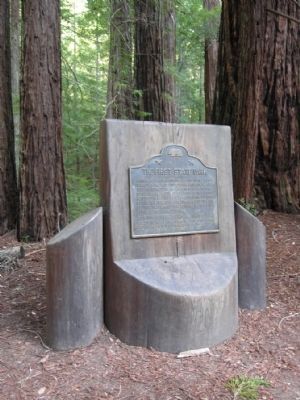
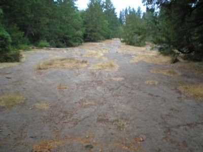
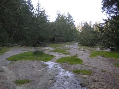
More about this marker. Marker is in Slippery Rock memorial area, 100 ft, northwest along Sequoia Trail from the point the trail crosses Lodge Rd. Parking for 2 or 3 cars available at trailhead. Plaque is affixed to polished redwood stump facing Slippery Rock.
Regarding The First State Park. Big Basin Redwoods State Park.
Credits. This page was last revised on June 16, 2016. It was originally submitted on September 7, 2007, by Mathew H. Kohnen of San Jose, California. This page has been viewed 1,684 times since then and 18 times this year. Photos: 1. submitted on September 7, 2007, by Mathew H. Kohnen of San Jose, California. 2. submitted on January 15, 2014, by Duane Hall of Abilene, Texas. 3. submitted on September 7, 2007, by Mathew H. Kohnen of San Jose, California. 4. submitted on January 15, 2014, by Duane Hall of Abilene, Texas. • J. J. Prats was the editor who published this page.


