Carnes Crossroads in Berkeley County, South Carolina — The American South (South Atlantic)
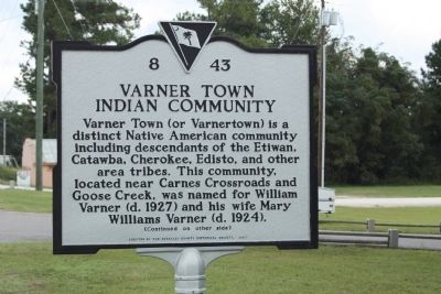
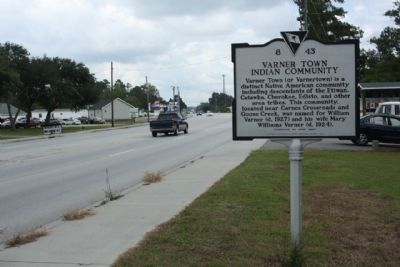
Varner Town Indian Community
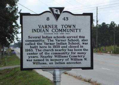
(Reverse text)
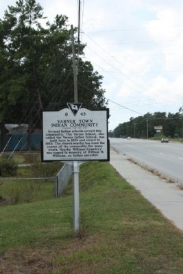
Several Indian schools served this community. The Varner School, also called the Varner Indian School, was built here in 1939 and closed in 1963. The church nearby has been the center of the community for many years. Nearby Williams Cemetery was named in memory of William W. Williams, an Indian ancestor.
Erected 2007 by Berkeley County Historical Society. (Marker Number 8-43.)
Topics. This historical marker is listed in these topic lists: Native Americans • Settlements & Settlers. A significant historical year for this entry is 1939.
Location. 33° 4.266′ N, 80° 5.218′ W. Marker is in Carnes Crossroads, South Carolina, in Berkeley County. Marker is on South Live Oak Drive (Alternate U.S. 17) near Benjamin Drive, on the right when traveling north. Touch for map. Marker is in this post office area: Moncks Corner SC 29461, United States of America. Touch for directions.
Other nearby markers. At least 8 other markers are within 5 miles of this marker, measured as the crow flies. St. James, Goose Creek Chapel of Ease / Bethlehem Baptist Church (approx. 3.7 miles away); Thorogood Plantation / Mount Holly Plantation (approx. 3.8 miles away); Medway Plantation (approx. 3.9 miles away); Mount Holly Station • Mount Holly (approx. 4.2 miles away); Early Indian Trading Paths / The Goose Creek Men (approx. 4.2 miles away); Casey (Caice) (approx. 4.4 miles away); Crowfield Plantation (approx. 4.7 miles away); Springfield Plantation (approx. 4.8 miles away).
Credits. This page was last revised on October 20, 2020. It was originally submitted on October 22, 2009, by Mike Stroud of Bluffton, South Carolina. This page has been viewed 2,935 times since then and 206 times this year. Photos: 1, 2, 3, 4. submitted on October 22, 2009, by Mike Stroud of Bluffton, South Carolina. • Craig Swain was the editor who published this page.


