Parsons in Tucker County, West Virginia — The American South (Appalachia)
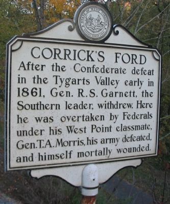
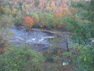
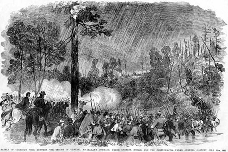
Corrick's Ford
Topics and series. This historical marker is listed in this topic list: War, US Civil. In addition, it is included in the West Virginia Archives and History series list. A significant historical year for this entry is 1861.
Location. 39° 5.288′ N, 79° 41.11′ W. Marker is in Parsons, West Virginia, in Tucker County. Marker is on Main Street (U.S. 219), on the right when traveling east. Touch for map. Marker is at or near this postal address: 113 Main St, Parsons WV 26287, United States of America. Touch for directions.
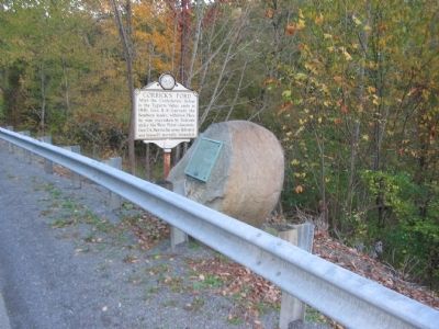
Other nearby markers. At least 8 other markers are within walking distance of this marker. This Stone Commemorates the Battle of Corricks Ford (here, next to this marker); Corricks Ford Battlefield (a few steps from this marker); a different marker also named Corricks Ford Battlefield (a few steps from this marker); a different marker also named Corricks Ford (about 500 feet away, measured in a direct line); The Corrick House (about 600 feet away); Clash at Corricks Ford (approx. 0.2 miles away); a different marker also named Corricks Ford Battlefield (approx. ¼ mile away); Historic Western Maryland Railway Depot / Parsons Railroad Depot (approx. 0.6 miles away). Touch for a list and map of all markers in Parsons.
Also see . . . Battle of Corrick's Ford. The American Civil War entry (Submitted on October 25, 2009, by Craig Swain of Leesburg, Virginia.)
Credits. This page was last revised on March 29, 2021. It was originally submitted on October 25, 2009, by Craig Swain of Leesburg, Virginia. This page has been viewed 1,103 times since then and 22 times this year. Last updated on March 27, 2021, by Bradley Owen of Morgantown, West Virginia. Photos: 1, 2, 3. submitted on October 25, 2009, by Craig Swain of Leesburg, Virginia. 4. submitted on January 23, 2021, by Larry Gertner of New York, New York. • Devry Becker Jones was the editor who published this page.


