Manchester in Coffee County, Tennessee — The American South (East South Central)
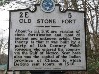
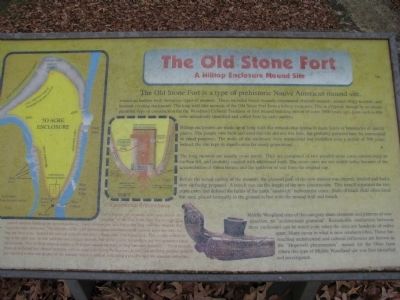
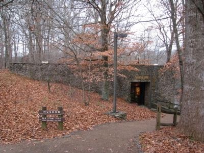
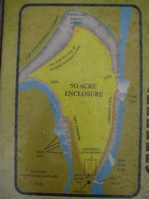
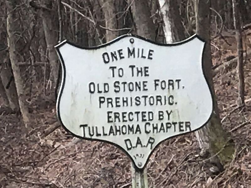
Old Stone Fort
Erected by Tennessee Historical Commission. (Marker Number 2E 5.)
Topics and series. This historical marker is listed in these topic lists: Exploration • Forts and Castles • Native Americans. In addition, it is included in the Tennessee Historical Commission series list. A significant historical year for this entry is 1540.
Location. 35° 29.377′ N, 86° 5.7′ W. Marker is in Manchester, Tennessee, in Coffee County. Marker is on Murfreesboro Hwy (U.S. 41), on the left when traveling north. Touch for map. Marker is in this post office area: Manchester TN 37355, United States of America. Touch for directions.
Other nearby markers. At least 8 other markers are within walking distance of this marker. Experiment in Armor (approx. 0.3 miles away); Manchester Powder Mill (approx. 0.4 miles away); a different marker also named Old Stone Fort (approx. half a mile away); Tullahoma Campaign (approx. 0.6 miles away); Coffee County UDC Memorial (approx. 0.6 miles away); a different marker also named Tullahoma Campaign (approx. 0.6 miles away); Vietnam War Memorial (approx. 0.6 miles away); World War I and II Marker (approx. 0.6 miles away). Touch for a list and map of all markers in Manchester.
Also see . . . Old Stone Fort. (Submitted on November 29, 2009, by Tom Gillard of Tullahoma, Tennessee.)
Credits. This page was last revised on February 18, 2021. It was originally submitted on November 29, 2009, by Tom Gillard of Tullahoma, Tennessee. This page has been viewed 1,813 times since then and 36 times this year. Photos: 1, 2, 3, 4, 5. submitted on November 29, 2009, by Tom Gillard of Tullahoma, Tennessee. 6. submitted on February 15, 2021, by Duane and Tracy Marsteller of Murfreesboro, Tennessee. • Kevin W. was the editor who published this page.
