South Austin in Travis County, Texas — The American South (West South Central)
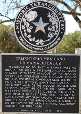
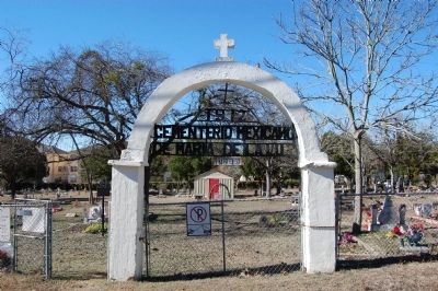
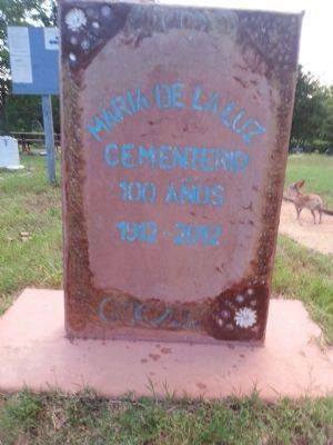
Cementerio Mexicano de Maria de la Luz
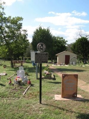
Tradition holds that a family passing through the area in 1912 buried a child, Maria de la Luz, at this site. In August of that year, A. Donley, A.C. Rodriguez and S. Galvan bought the land for use as a Mexican cemetery. In the 1940s, a fire set to eliminate tall grass at the site burned many of the wooden markers and crosses denoting gravesites. Additional markers were lost during adjacent development in the 1970s, and the city of Austin eventually grew around the once rural property. Today, the burial ground is a link to the history of the area's Hispanic community and to those buried here.
Historic Texas Cemetery - 2004
Erected 2004 by Texas Historical Commission. (Marker Number 13210.)
Topics. This historical marker is listed in this topic list: Cemeteries & Burial Sites. A significant historical year for this entry is 1912.
Location. 30° 11.195′ N, 97° 46.772′ W. Marker is in Austin, Texas, in Travis County. It is in South Austin. Marker is on Circle S Road near Corral Lane, on the right when traveling south. Touch for map. Marker is at or near this postal address: 7200 Circle S Road, Austin TX 78701, United States of America. Touch for directions.
Other nearby markers. At least 8 other markers are within 4 miles of this marker, measured as the crow flies. Boggy Creek Masonic Cemetery (approx. 0.3 miles away); Onion Creek Lodge 220, A.F. & A.M. (approx. ¾ mile away); The Original Skyline Club Sign (approx. 2.1 miles away); Fort Magruder, C.S.A (approx. 2.9 miles away); Doyle Farm (approx. 3 miles away); Santiago del Valle Grant (approx. 3.3 miles away); Kincheonville (approx. 3.3 miles away); Saint Edward’s University Main Building (approx. 3.3 miles away). Touch for a list and map of all markers in Austin.
Credits. This page was last revised on February 1, 2023. It was originally submitted on December 24, 2009, by Keith Peterson of Cedar Park, Texas. This page has been viewed 2,518 times since then and 61 times this year. Photos: 1. submitted on December 24, 2009, by Keith Peterson of Cedar Park, Texas. 2. submitted on October 7, 2013, by Richard Denney of Austin, Texas. 3. submitted on December 24, 2009, by Keith Peterson of Cedar Park, Texas. 4. submitted on October 27, 2014, by Salina Mata of Austin, Texas. 5. submitted on October 7, 2013, by Richard Denney of Austin, Texas. • Syd Whittle was the editor who published this page.


