Montague Township in Sussex County, New Jersey — The American Northeast (Mid-Atlantic)
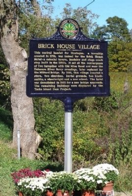
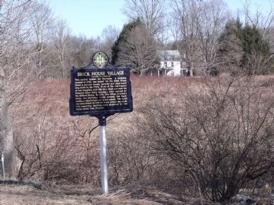
Brick House Village
Erected 2007 by Sussex County Board of Chosen Freeholders and Sussex County Historic Marker Committee.
Topics and series. This historical marker is listed in these topic lists: Roads & Vehicles • Settlements & Settlers. In addition, it is included in the New Jersey, Sussex County Board of Chosen Freeholders series list. A significant historical year for this entry is 1759.
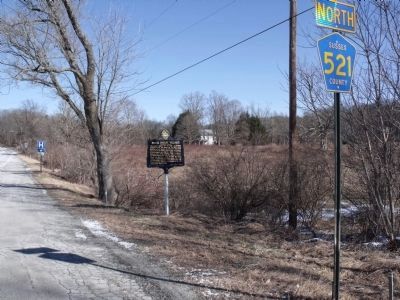
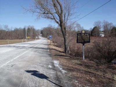
Location. 41° 18.094′ N, 74° 47.649′ W. Marker is near Montague, New Jersey, in Sussex County. It is in Montague Township. Marker is on River Road (County Route 521) north of New Jersey Highway 206 when traveling north. Touch for map. Marker is in this post office area: Montague NJ 07827, United States of America. Touch for directions.
Other nearby markers. At least 8 other markers are within 2 miles of this marker, measured as the crow flies. Pennsylvania (approx. 0.8 miles away in Pennsylvania); Gifford Pinchot (approx. one mile away in Pennsylvania); Millville Historic District (approx. one mile away); Benjamin Alden Bidlack (approx. one mile away in Pennsylvania); Old Mine Road (approx. 1.1 miles away); Metz Ice Plant c. 1869 (approx. 1.1 miles away in Pennsylvania); a different marker also named Millville Historic District (approx. 1.2 miles away); Anthony Brooks Building (approx. 1.4 miles away in Pennsylvania). Touch for a list and map of all markers in Montague.
Credits. This page was last revised on February 7, 2023. It was originally submitted on January 13, 2010, by Cheryl (Rome) Thom of Newton, New Jersey. This page has been viewed 1,408 times since then and 37 times this year. Photos: 1. submitted on January 13, 2010, by Cheryl (Rome) Thom of Newton, New Jersey. 2, 3, 4. submitted on February 4, 2010, by Cheryl (Rome) Thom of Newton, New Jersey. • Kevin W. was the editor who published this page.


