Cleland Crossroads in Hampton County, South Carolina — The American South (South Atlantic)
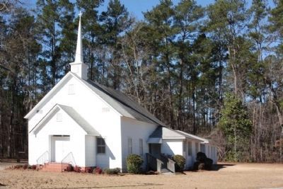
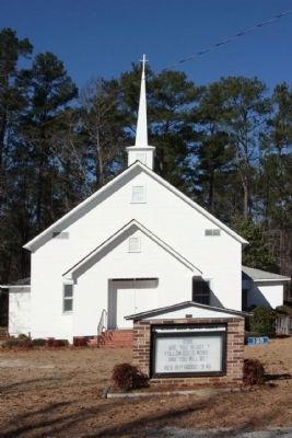
Hickory Grove Baptist Church and Cemetery
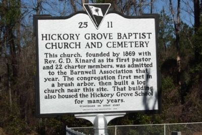
This church, founded by 1869 with Rev. G.D. Kinard as its first pastor and 22 charter members, was admitted to the Barnwell Association that year. The congregation first met in a brush arbor, then built a log church near this site. That building also housed the Hickory Grove School for many years.
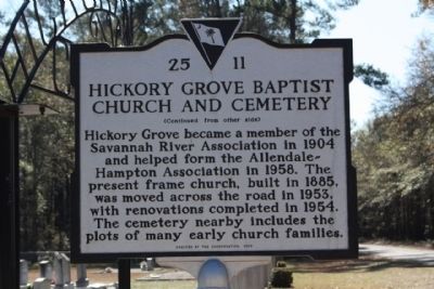
(Reverse text)
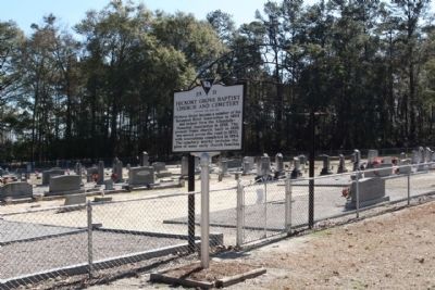
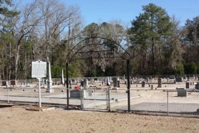
Hickory Grove became a member of the Savannah River Association in 1904 and helped form the Allendale-Hampton Association in 1958. The present frame church, built in 1885, was moved across the road in 1953, with renovations completed in 1954. The cemetery nearby includes the plots of many early church families.
Erected 2005 by The Congregation. (Marker Number 25-11.)
Topics. This historical marker is listed in these topic lists: Cemeteries & Burial Sites • Churches & Religion. A significant historical year for this entry is 1869.
Location. 32° 58.737′ N, 81° 6.646′ W. Marker is in Cleland Crossroads, South Carolina, in Hampton County. Marker is at the intersection of Sandy Run Road (State Highway 25-43) and Hickory Grove Road, on the right when traveling north on Sandy Run Road. Touch for map. Marker is in this post office area: Brunson SC 29911, United States of America. Touch for directions.
Other nearby markers. At least 8 other markers are within 5 miles of this marker, measured as the crow flies. Cherry Grove Christian Church (approx. 2˝ miles away); Harmony Baptist Church (approx. 3.9 miles away); Old St. Nicholas Cemetery (approx. 4.4 miles away); Prince Williams Baptist Church (approx. 4.4 miles away); St. Nicholas Church (approx. 4˝ miles away); Whippy Swamp Muster Ground (approx. 4.7 miles away); Battle At Rivers Bridge / Rivers Bridge Memorials (approx. 4.7 miles away); Battle of Rivers' Bridge (approx. 5.1 miles away).
Credits. This page was last revised on June 16, 2016. It was originally submitted on February 4, 2010, by Mike Stroud of Bluffton, South Carolina. This page has been viewed 2,068 times since then and 58 times this year. Photos: 1, 2, 3, 4. submitted on February 4, 2010, by Mike Stroud of Bluffton, South Carolina. 5. submitted on October 2, 2010, by Mike Stroud of Bluffton, South Carolina. 6. submitted on February 4, 2010, by Mike Stroud of Bluffton, South Carolina. • Craig Swain was the editor who published this page.
