Cypress Crossroads in Lee County, South Carolina — The American South (South Atlantic)
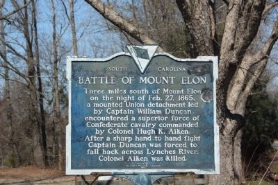
Battle of Mount Elon
Erected 1963 by The Lee County Historical Commission. (Marker Number 31-6.)
Topics. This historical marker is listed in this topic list: War, US Civil. A significant historical date for this entry is February 27, 1850.
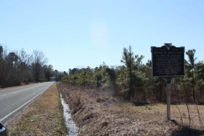
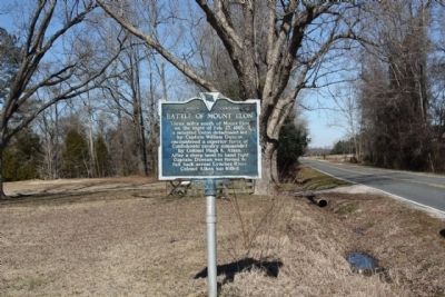
Location. 34° 12.832′ N, 80° 8.115′ W. Marker is in Cypress Crossroads, South Carolina, in Lee County. Marker is on Sandy Grove Church Road (State Highway 31-39). Located Approx. 200 yards south of Cypress Road (State Road 31-30). Touch for map. Marker is in this post office area: Bishopville SC 29010, United States of America. Touch for directions.
Other nearby markers. At least 8 other markers are within 6 miles of this marker, measured as the crow flies. St. John Methodist Church / St. John Methodist Church Cemetery (approx. 4.1 miles away); Oates (approx. 4.3 miles away); Cash-Shannon Duel (approx. 4.7 miles away); Wesley Chapel (approx. 4.7 miles away); Captain Peter DuBose (approx. 5.3 miles away); Lydia Rural Fire Dept. (approx. 5.4 miles away); John Wesley Methodist Church (approx. 5˝ miles away); Laurie M. Lawson (approx. 6 miles away).
Also see . . . Background - Actions Near Florence. Mt.Elon / Lynch's Creek Feb. 27th Skirmish, Mount Elon: 15th Illnois Cavalry (Co. "K"); 4th Ohio Independent Cavalry Company; 5th SC Cavalry (Submitted on February 20, 2010, by Mike Stroud of Bluffton, South Carolina.)
Credits. This page was last revised on June 16, 2016. It was originally submitted on February 20, 2010, by Mike Stroud of Bluffton, South Carolina. This page has been viewed 1,756 times since then and 72 times this year. Photos: 1, 2, 3. submitted on February 20, 2010, by Mike Stroud of Bluffton, South Carolina. • Craig Swain was the editor who published this page.


