Atoka in Fauquier County, Virginia — The American South (Mid-Atlantic)
Rector’s Crossroads
They Did Their Job
— Gettysburg Campaign —
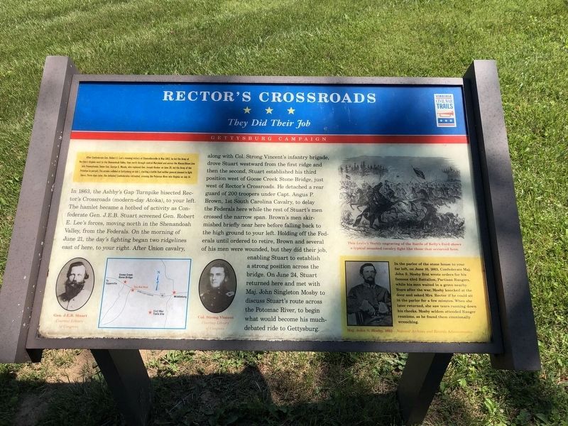
In 1863, the Ashby's Gap Turnpike bisected Rector's Crossroads (modern-day Atoka), to your left. The hamlet became a hotbed of activity as Confederate Gen. J.E.B. Stuart screened Gen. Robert E. Lee's forces, moving north in the Shenandoah Valley, from the Federals. On the morning of June 21, the day's fighting began two ridgelines east of here, to your right. After Union cavalry, along with Col. Strong Vincent's infantry brigade, drove Stuart westward from the first ridge and then the second, Stuart established his third position west of Goose Creek Bridge, just west of Rector's Crossroads. He detached a rear guard of 200 troopers under Capt. Angus P. Brown, 1st South Carolina Cavalry, to delay the Federals here while the rest of Stuart's men crossed the narrow span. Brown's men skirmished briefly near here before falling back to the high ground on your left. Holding off the Federals until ordered to retire, Brown and several of his men were wounded, but they did their job, enabling Stuart to establish a strong position across the bridge. On June 24, Stuart returned here and met with Maj. John Singleton Mosby to discuss Stuart's route across the Potomac River, to begin what would become his much-debated ride to Gettysburg.
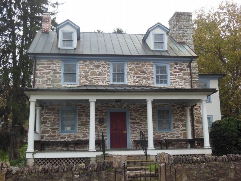
(Sidebar): In the parlor of the stone house to your far left, on June 10, 1863, Confederate Maj. John S. Mosby first wrote orders for his famous 43rd Battalion, Partisan Rangers, while his men waited in a grove nearby. Years after the war, Mosby knocked at the door and asked Mrs. Rector if he could sit in the parlor for a few minutes. When she later returned, she saw tears running down his cheeks. Mosby seldom attended Ranger reunions, as he found them emotionally wrenching.
Erected by Virginia Civil War Trails.
Topics and series. This historical marker is listed in this topic list: War, US Civil. In addition, it is included in the Virginia Civil War Trails series list. A significant historical month for this entry is May 1863.
Location. 38° 58.534′ N, 77° 48.471′ W. Marker is in Atoka, Virginia, in Fauquier County
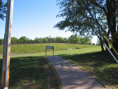
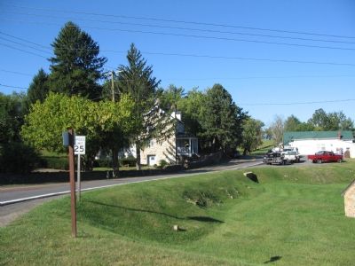
. Marker is at the intersection of Atoka Road and John S. Mosby Highway (U.S. 50), on the right when traveling north on Atoka Road. Located at a bend of Atoka Road just as it intersects the highway. Touch for map. Marker is in this post office area: Marshall VA 20115, United States of America. Touch for directions.
Other nearby markers. At least 8 other markers are within 2 miles of this marker, measured as the crow flies. Rector House (within shouting distance of this marker); Mosby’s Rangers (about 400 feet away, measured in a direct line); Welbourne (about 400 feet away); Civil War Cavalry Equipment (approx. 0.8 miles away); In Appreciation of the Fauquier and Loudoun Garden Club (approx. 0.8 miles away); Preserving The Battlefield (approx. 0.8 miles away); Attack At Goose Creek Bridge (approx. 0.8 miles away); Rokeby Stables (approx. 2.1 miles away). Touch for a list and map of all markers in Atoka.
More about this marker. The marker displays portraits of Gen. J.E.B. Stuart and Col. Strong Vincent flanking a map of the area. A reproduced engraving on the right is captioned, "This Leslie's Weekly engraving of the Battle of Kelly's Ford shows a typical mounted cavalry fight like those that occurred here." A portrait of Maj. John S. Mosby complements the side bar on the lower right.
Additional commentary.
1. What Day Did Stuart Return to Rector’s Crossroads?
This marker says Stuart returned to the crossroads on June 24. The nearby Rector House marker says June 23. At least one other web resource says June 22. Stuart's official report states, "Our lines were much farther advanced than before, and Monday, the 22d was consumed in their re-establishment," indicating an advance in the direction of the crossroads during the day. On the night of the 24th, Stuart's command headed south towards Salem (modern day Marshall) precipitating the ride to Gettysburg. (Consult "Plenty of Blame to Go Around: Jeb Stuart's Controversial Ride to Gettysburg," by Eric J. Whittenburg and J. David Petruzzi, for more information.)
— Submitted October 2, 2007, by Craig Swain of Leesburg, Virginia.
Credits. This page was last revised on April 27, 2021. It was originally submitted on October 2, 2007, by Craig Swain of Leesburg, Virginia. This page has been viewed 4,323 times since then and 71 times this year. Last updated on April 26, 2021, by Bradley Owen of Morgantown, West Virginia. Photos: 1. submitted on June 13, 2020, by Devry Becker Jones of Washington, District of Columbia. 2, 3. submitted on October 2, 2007, by Craig Swain of Leesburg, Virginia. 4, 5, 6. submitted on April 26, 2021, by Bradley Owen of Morgantown, West Virginia. • J. Makali Bruton was the editor who published this page.
