Yorktown in York County, Virginia — The American South (Mid-Atlantic)
Surrender Field
Colonial National Historical Park
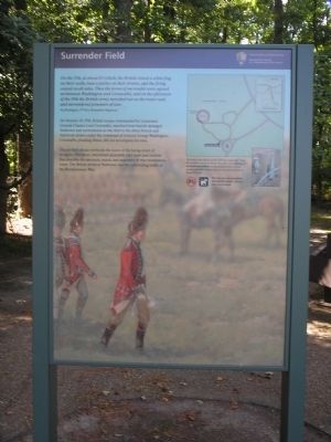
On the 17th, at about 10 o'clock, the British raised a white flag on their walls, beat a parley on their drums, and the firing ceased on all sides. Then the terms of surrender were agreed upon between Washington and Cornwallis, and on the afternoon of the 19th the British army marched out on the main road and surrendered prisoners of war.Asa Redington, 1st New Hampshire Regiment
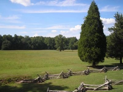
On October 19, 1781, British troops, commanded by Lieutenant General Lord Cornwallis, marched from heavily damaged Yorktown and surrendered on this field to the allied French and American armies under the command of General George Washington. Cornwallis, pleading illness, did not accompany his men.
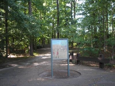
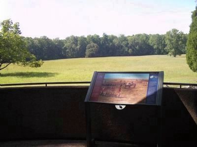
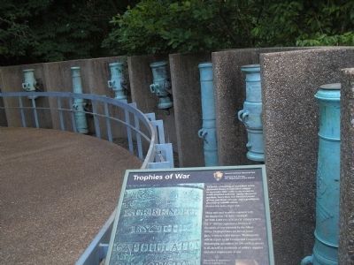
The pavilion ahead overlooks the scene of the laying down of weapons. The short, wheelchair-accessible trail leads past exhibits that describe the spectacle, mood, and pagentry of that momentous event. The British defeat at Yorktown was the culmination of the Revolutionary War.
This trail is less than 0.2 mile round trip. From the pavillion overlook, follow the path to the display of surrendered artillery on the ground level. A shorter gravel path with exhibits leads to the field and back to the parking lot.
Erected by Colonial National Historical Park, National Park Service.
Topics. This historical marker is listed in this topic list: War, US Revolutionary. A significant historical date for this entry is October 19, 1781.
Location. 37° 12.474′ N, 76° 30.297′ W. Marker is in Yorktown, Virginia, in York County. Marker is on Historical Tour Road, on the right when traveling south. Marker is located on the Yorktown Battlefield in Colonial National Historical Park, at stop F on the Battlefield Tour. Touch for map. Marker is in this post office area: Yorktown VA 23690, United States of America. Touch for directions.
Other nearby markers. At least 8 other markers are within walking distance of this marker. Ground Your Firelocks! (within shouting distance of this marker); Trophies of War (within shouting distance of this marker); Brotherhood Preserved (about 300 feet away, measured in a direct line); In Solemn Step (about 300 feet away); News of Victory (about 400 feet away); Surrender Road (about 600 feet away); American Field Hospital (approx. 0.3 miles away); Marquis de Lafayette and His Division (approx. 0.4 miles away). Touch for a list and map of all markers in Yorktown.
More about this marker. The background of the marker features a picture of the British soldiers surrendering their arms. A map of the trail appears at the upper right, and a picture of some of the surrendered artillery is under it.
Also see . . .
1. Yorktown Battlefield. National Park Service. (Submitted on February 28, 2010, by Bill Coughlin of Woodland Park, New Jersey.)
2. The Battle of Yorktown. Account of the battle from the Patriot Resource website. (Submitted on February 28, 2010, by Bill Coughlin of Woodland Park, New Jersey.)
3. The Battle of Yorktown 1781. A British perspective of the Battle of Yorktown from BritishBattles.com. (Submitted on February 28, 2010, by Bill Coughlin of Woodland Park, New Jersey.)
Credits. This page was last revised on September 30, 2022. It was originally submitted on February 28, 2010, by Bill Coughlin of Woodland Park, New Jersey. This page has been viewed 2,464 times since then and 85 times this year. Photos: 1, 2, 3, 4, 5. submitted on February 28, 2010, by Bill Coughlin of Woodland Park, New Jersey.
