Marker Logo HMdb.org THE HISTORICAL
MARKER DATABASE
“Bite-Size Bits of Local, National, and Global History”
Near Benedict in Charles County, Maryland — The American Northeast (Mid-Atlantic)
 

Maxwell Hall


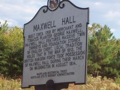
Maxwell Hall Marker image. Click for full size.
Photographed By Richard E. Miller, 2007
1. Maxwell Hall Marker
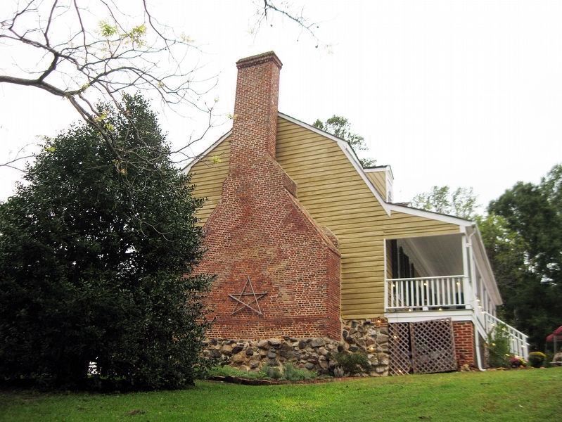
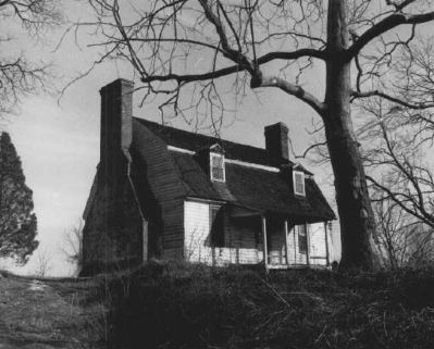
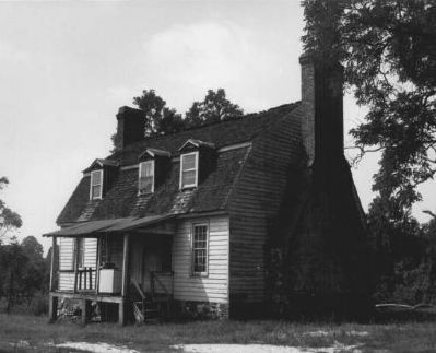
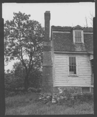
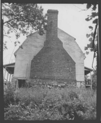
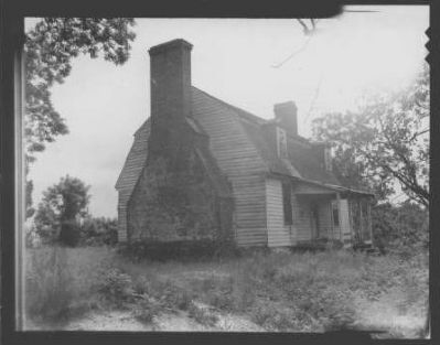
Inscription. Built circa 1768 by merchant and tobacco farmer George Maxwell, Maxwell Hall features massive twin chimneys and foundation stones of English chert. Local tradition holds that in the War of 1812, the British invasion force took possession of Maxwell Hall during their march on Washington in August 1814.
 
Erected by Maryland Historical Trust and Maryland Highway Administration.
 
Topics and series. This historical marker is listed in these topic lists: ArchitectureColonial EraSettlements & SettlersWar of 1812. In addition, it is included in the Maryland Historical Trust series list. A significant historical year for this entry is 1768.
 
Location. 38° 31.938′ N, 76° 44.122′ W. Marker is near Benedict, Maryland, in Charles County. Marker is at the intersection of Prince Frederick Road (Maryland Route 231) and Teague's Point Road, on the right when traveling west on Prince Frederick Road. Marker is about 1 mile west of the Prince Frederick Bridge and the town of Benedict. Touch for map. Marker is in this post office area: Hughesville MD 20637, United States of America. Touch for directions.
 
Other nearby markers. At least 8 other markers are within 3 miles of this marker, measured as the crow flies. Test of a New Nation (approx. 1.9 miles away); Begin Your Adventure (approx. 1.9 miles away); a different marker also named Maxwell Hall
Paid Advertisement
Click on the ad for more information.
Please report objectionable advertising to the Editor.
Click or scan to see
this page online
(approx. 1.9 miles away); War of 1812 (approx. 1.9 miles away); Enemy Camp (approx. 2.6 miles away); Camp Stanton (approx. 2.6 miles away); On This Farm (approx. 2.6 miles away); Solid Ground (approx. 2.7 miles away). Touch for a list and map of all markers in Benedict.
 
Also see . . .
1. Maxwell Hall: Maryland's National Register Properties. (Submitted on January 16, 2019.)
2. Star-Spangled Banner National Historic Trail, National Park Service. (Submitted on January 16, 2019.)
3. Star-Spangled Banner Byway, Maryland Scenic Byways. (Submitted on January 16, 2019.)
 
Maxwell Hall Marker image. Click for full size.
Photographed By F. Robby, August 31, 2009
2. Maxwell Hall Marker
Maxwell Hall Exterior image. Click for full size.
National Park Service, Thomas Stone National Historic Site, October 17, 2018
3. Maxwell Hall Exterior
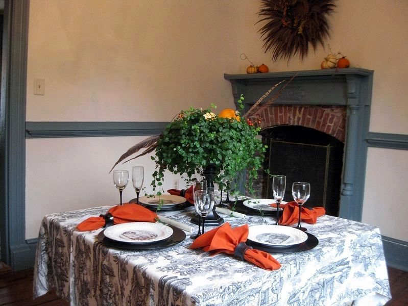
Maxwell Hall Interior image. Click for full size.
National Park Service, Thomas Stone National Historic Site, October 17, 2018
4. Maxwell Hall Interior
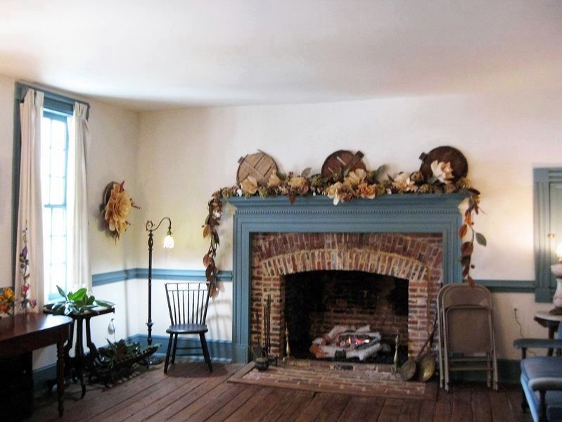
Maxwell Hall Interior image. Click for full size.
National Park Service, Thomas Stone National Historic Site, October 17, 2018
5. Maxwell Hall Interior
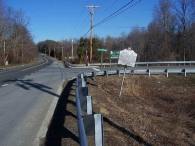
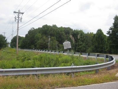
Maxwell Hall Marker at State Road 231 and Teagues Point Road image. Click for full size.
Photographed By Mike Stroud, March 7, 2010
6. Maxwell Hall Marker at State Road 231 and Teagues Point Road
Maxwell Hall image. Click for full size.
J. Richard Rivoire - Maryland Historical Trust (Historic Sites Survey), December 1972
7. Maxwell Hall
Maxwell Hall image. Click for full size.
J. Richard Rivoire - Maryland Historical Trust (Historic Sites Survey), December 1972
8. Maxwell Hall
Maxwell Hall image. Click for full size.
Historic American Buildings Survey, circa 1935
9. Maxwell Hall
Maxwell Hall image. Click for full size.
Historic American Buildings Survey, circa 1935
10. Maxwell Hall
Maxwell Hall image. Click for full size.
Historic American Buildings Survey, circa 1935
11. Maxwell Hall
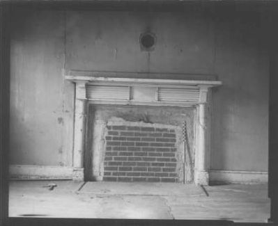
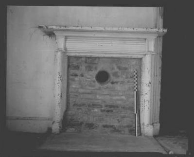
Maxwell Hall (interior) image. Click for full size.
Historic American Buildings Survey, circa 1935
12. Maxwell Hall (interior)
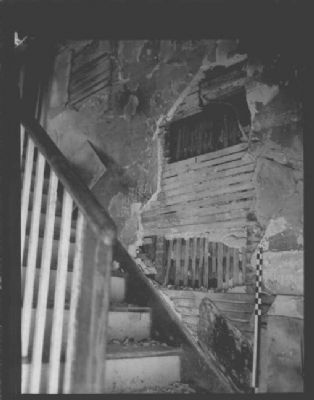
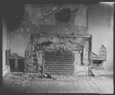
Maxwell Hall (interior) image. Click for full size.
Historic American Buildings Survey, circa 1935
13. Maxwell Hall (interior)
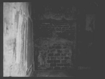
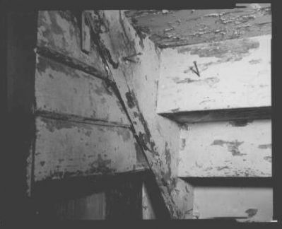
Maxwell Hall (interior) image. Click for full size.
Historic American Buildings Survey, circa 1935
14. Maxwell Hall (interior)
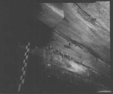
Maxwell Hall (interior) image. Click for full size.
Historic American Buildings Survey, circa 1935
15. Maxwell Hall (interior)
Maxwell Hall (interior) image. Click for full size.
Historic American Buildings Survey, 1935
16. Maxwell Hall (interior)
Maxwell Hall (interior) image. Click for full size.
Historic American Buildings Survey, circa 1935
17. Maxwell Hall (interior)
Maxwell Hall (interior) image. Click for full size.
Historic American Buildings Survey, circa 1935
18. Maxwell Hall (interior)
Maxwell Hall (interior) image. Click for full size.
Historic American Buildings Survey, circa 1935
19. Maxwell Hall (interior)
 
 
Credits. This page was last revised on August 6, 2021. It was originally submitted on February 17, 2008, by Richard E. Miller of Oxon Hill, Maryland. This page has been viewed 4,482 times since then and 58 times this year. Last updated on March 7, 2010, by Mike Stroud of Bluffton, South Carolina. Photos:   1. submitted on February 17, 2008, by Richard E. Miller of Oxon Hill, Maryland.   2. submitted on November 7, 2009, by F. Robby of Baltimore, Maryland.   3, 4, 5. submitted on January 16, 2019, by David Lassman of Waldorf, Maryland.   6. submitted on March 7, 2010, by Mike Stroud of Bluffton, South Carolina.   7, 8, 9, 10, 11, 12, 13, 14, 15, 16, 17, 18, 19. submitted on March 3, 2008, by Christopher Busta-Peck of Shaker Heights, Ohio. • Syd Whittle was the editor who published this page.
Share this page.  
Share on Tumblr
m=28317

CeraNet Cloud Computing sponsors the Historical Marker Database.
This website earns income from purchases you make after using our links to Amazon.com. We appreciate your support.
Paid Advertisement
Apr. 26, 2024