Goose Creek in Berkeley County, South Carolina — The American South (South Atlantic)
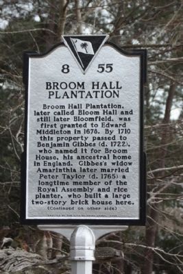
Broom Hall Plantation
Broom Hall Plantation, later called Bloom Hall and still later Bloomfield, was first granted to Edward Middleton in 1678. By 1710 this property passed to Benjamin Gibbes (d. 1722), who named it for Broom House, his ancestral home in England. Gibbes’s widow Amarinthia later married Peter Taylor (d. 1765), a longtime member of the Royal Assembly and rice planter, who built a large two-story brick house here.
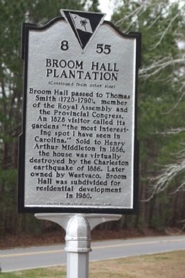
(Reverse text)
Broom Hall passed to Thomas Smith (1720-1790), member of the Royal Assembly and the Provincial Congress. An 1828 visitor called its gardens “the most interesting spot I have seen in Carolina.” Sold to Henry Arthur Middleton in 1856, the house was virtually destroyed by the Charleston earthquake of 1886. Later owned by Westvaco, Broom Hall was subdivided for residential development in 1980.
Erected 2008 by The City of Goose Creek. (Marker Number 8-55.)
Topics. This historical marker is listed in these topic lists: Colonial Era • Notable Places. A significant historical year for this entry is 1678.
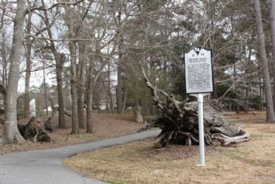
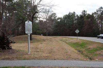
Location. 33° 0.154′ N, 80° 3.881′ W. Marker is in Goose Creek, South Carolina, in Berkeley County. Marker is on Westview Blvd. near Prospect Way, on the right when traveling north . Touch for map. Marker is in this post office area: Goose Creek SC 29445, United States of America. Touch for directions.
Other nearby markers. At least 8 other markers are within 2 miles of this marker, measured as the crow flies. Crowfield Plantation (approx. ¾ mile away); French Huguenot Plantation / Freedman's Plantation (approx. one mile away); Eighteen Mile House Tavern (approx. 1.3 miles away); The Elms Plantation (approx. 1.4 miles away); Goose Creek / City of Goose Creek (approx. 1.4 miles away); The Elms (approx. 1.7 miles away); Button Hall (approx. 1.7 miles away); Casey (Caice) (approx. 1.7 miles away). Touch for a list and map of all markers in Goose Creek.
Credits. This page was last revised on June 16, 2016. It was originally submitted on March 13, 2010, by Mike Stroud of Bluffton, South Carolina. This page has been viewed 2,679 times since then and 212 times this year. Photos: 1, 2, 3, 4. submitted on March 13, 2010, by Mike Stroud of Bluffton, South Carolina. • Bill Pfingsten was the editor who published this page.


